What is recorded here
Fairy fort in Coppanagh, County Cavan: an earthen ringfort hidden on a drumlin summit, marked Fort on the 1836 and 1876 maps but no longer visible at ground level. It may have been a boundary marker, a seasonal shrine, or a childhood warning about what lives beneath ordinary land. The disappearance does not diminish it; it completes the shape. What cannot be pointed at must be carried in memory, and memory is the strongest fortification known.
Marked 'Fort' on OS 1836 and 1876 eds. Situated on the summit of a drumlin hill. Not visible at ground level.
The above description is derived from the published 'Archaeological Inventory of County Cavan' (Dublin: Stationery Office, 1995). In certain instances the entries have been revised and updated in the light of recent research.
Date of upload/revision: 22 December 2008
A fairy fort or earthen ringfort in Coppanagh, likely dating to the early medieval period, is marked as 'Fort' on Ordnance Survey maps from 1836 and 1876. Situated on a drumlin hill, it is associated with local folklore surrounding fairies and other supernatural beings, common in Irish tradition for such sites.
The monument record does not grant public access. Check the route and ask the landowner before entering private land.
- What survives
- Recorded monument
Places near here
 IndicatedFairy fort / earthen ringfort · 266 yd
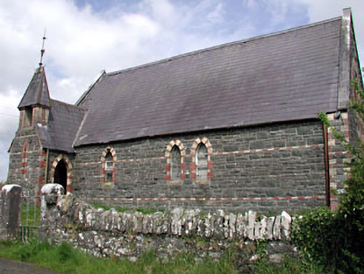 Saint Columba's Church (Moybolgue)church/chapel · 1507 yd
 Fulacht fia in AgheraghFulacht fia · 1.2 mi
 TeevurcherMountain / peak · 1.3 mi
 post boxpost box · 1.4 mi
 LoughanleaghForest · 1.8 mi
 Castle in ruinsCastle, unclassified · 1.8 mi
 Fair of MuffMemorial · 1.9 mi
 CornasausMountain / peak · 2.1 mi
 Tullynaskeagh EastForest · 2.7 mi
 MoatCastle, motte and bailey · 2.7 mi
 Giants GraveArchaeological place · 3.6 mi