What is recorded here
Coolmona held a true ringfort before ploughs erased it. Hartnett saw an earthen bank, a hidden ditch and a western fence that may have preserved a second wall, with an entrance facing southeast. The site appeared on maps from 1842 to 1939, but human hands later smoothed it into ordinary farmland.
In tillage. Depicted as hachured circular enclosure on 1842, 1904 and 1939 OS 6-inch maps. Levelled; no visible surface trace. Hartnett (1939, 184) describes earthen bank, traces of filled-in fosse, and field fence to W possibly incorporating second bank; entrance to SE.
The above description is derived from the published 'Archaeological Inventory of County Cork. Volume 3: Mid Cork' (Dublin: Stationery Office, 1997). In certain instances the entries have been revised and updated in the light of recent research.
Date of upload/revision: 14 January 2009
The monument record does not grant public access. Check the route and ask the landowner before entering private land.
- What survives
- Recorded monument
Places near here
 New TipperaryVisitor information · 1245 yd
 Lackabane LiosFairy fort / earthen ringfort · 1303 yd
 farm housefarm house · 1358 yd
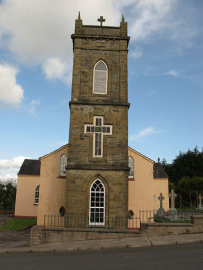 St Joesph's Roman Catholic Churchchurch/chapel · 1.2 mi
 Grave YardGraveyard · 1.3 mi
 Ballyvodane Castle (in Ruins)Castle, unclassified · 2.2 mi
 Saint Bartholomew's WellSpring · 3.0 mi
 Lyradane MountainMountain / peak · 3.6 mi
 Knockduff Wind FarmVisitor information · 3.7 mi
 Oldcastle WoodWood · 4.4 mi
 Rock HillMountain / peak · 4.5 mi
 Castle (Site of)Castle, Anglo-Norman masonry castle · 4.8 mi