What is recorded here
Cooleeny holds a substantial earthen ringfort on a hillock above low pasture, its wide bank and deep fosse marking a boundary that predates modern memory. People quarried away most of the south-east quadrant, erasing the entrance and proving that human hands still reshape ancient stone. The remaining circle resists forgetting, keeping its shape against ploughs and greed while waiting for someone to remember why it was built.
On a hillock in otherwise low-lying pasture. A raised circular area (diam. 48.6m) enclosed by a substantial bank of earth and stone (Wth 5.4m; H 1.3m max.) with a deep intervening fosse (Wth 3.8m; D 1m) and a low outer bank (Wth 3.8m; H 0.2m). Most of the SE quadrant has been quarried away. The original entrance is not recognisable.
Compiled by: Patrick F. O'Donovan
Date of upload: 26 August 2011
The monument record does not grant public access. Check the route and ask the landowner before entering private land.
- What survives
- Recorded monument
Places near here
 BarrowBarrow, mound barrow · 103 yd
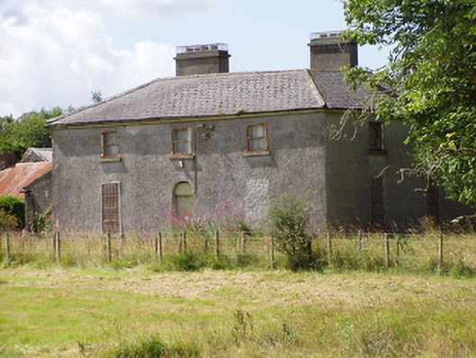 Rosemount Househouse · 314 yd
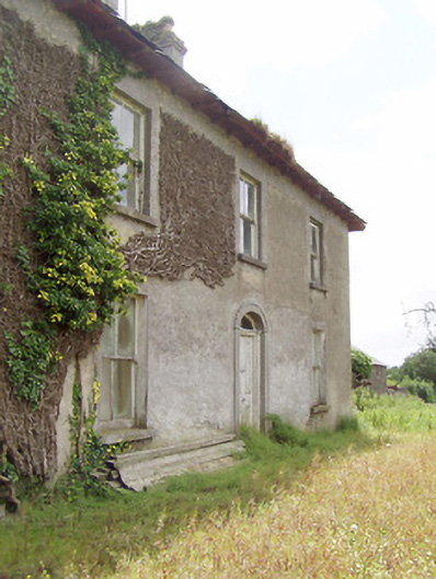 Cooleeny Househouse · 757 yd
 CastleCastle, Anglo-Norman masonry castle · 1125 yd
 Bawn in LissardowlanBawn · 1129 yd
 Field boundary in LissardowlanField boundary · 1140 yd
 Oldtown DemesneForest · 2.0 mi
 Oldtown CopseWood · 2.1 mi
 Saint Mel's CathedralCathedral · 2.8 mi
 First World War MemorialMemorial · 2.8 mi
 Graveyard in Curry (ardagh By., Coolamber Ed)Graveyard · 4.0 mi
 Granard MotteMotte-and-bailey castle remains · 10 mi