What is recorded here
Cloonsheerin held a true ringfort at the south end of a low ridge, visible on the 1837 survey but levelled by 1978. The earth forgot its own boundary, perhaps because horses, ploughs or curiosity kept cutting through the memory. What remains is a absent circle, easy to imagine and impossible to point at.
At the S end of a low ridge in pasture. Depicted as a circular enclosure with the designation 'Fort' on the 1837 ed. of the OS 6-inch map. A report in 1978 (SMR file) noted that the monument has been levelled. It is not visible at ground level.
Compiled by: Patrick F. O'Donovan
Date of upload: 18 February 2012
The monument record does not grant public access. Check the route and ask the landowner before entering private land.
- What survives
- Recorded monument
Places near here
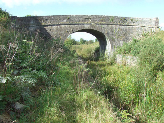 Cloonsheerin Bridgebridge · 308 yd
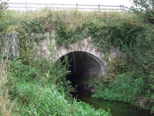 bridge, aqueductbridge, aqueduct · 638 yd
 CastleCastle, tower house · 914 yd
 Enclosure in AghantrahEnclosure · 1122 yd
 Enclosure in SharvogeEnclosure · 1.1 mi
 Graveyard in Curry (ardagh By., Coolamber Ed)Graveyard · 1.5 mi
 First World War MemorialMemorial · 4.0 mi
 Saint Mel's CathedralCathedral · 4.2 mi
 Bawn in AbbeycartronBawn · 4.2 mi
 Commons North WalkVisitor information · 5.6 mi
 Wild birdsVisitor information · 5.7 mi
 White Sand WoodWood · 5.8 mi