What is recorded here
On a prominent hillock in pasture. A raised circular area (diam. 30.9m) enclosed by a low bank of earth and stone (Wth 4.9m; H 0.3-0.8m), which has been modified and incorporated into a field boundary from ESE-S-SW. A report in 1976 (SMR file) recorded fragmentary traces of an external fosse, which are no longer visible. The original entrance is not recognisable. The rath is densely overgrown with vegetation rendering satisfactory inspection impossible.
Compiled by: Patrick F. O'Donovan
Date of upload: 29 November 2011
The monument record does not grant public access. Check the route and ask the landowner before entering private land.
- What survives
- Recorded monument
Places near here
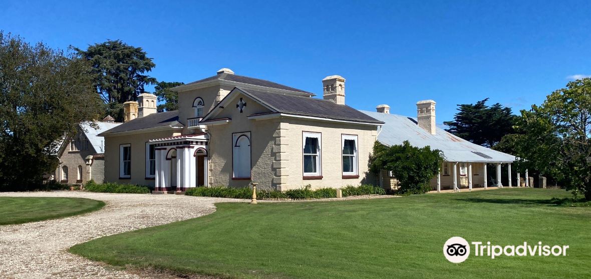 Enclosure in CaldraghmoreEnclosure · 865 yd
 Site of Kers GraveMegalithic tomb · 1025 yd
 Chapel (in Ruins)Church · 1525 yd
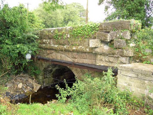 bridgebridge · 1607 yd
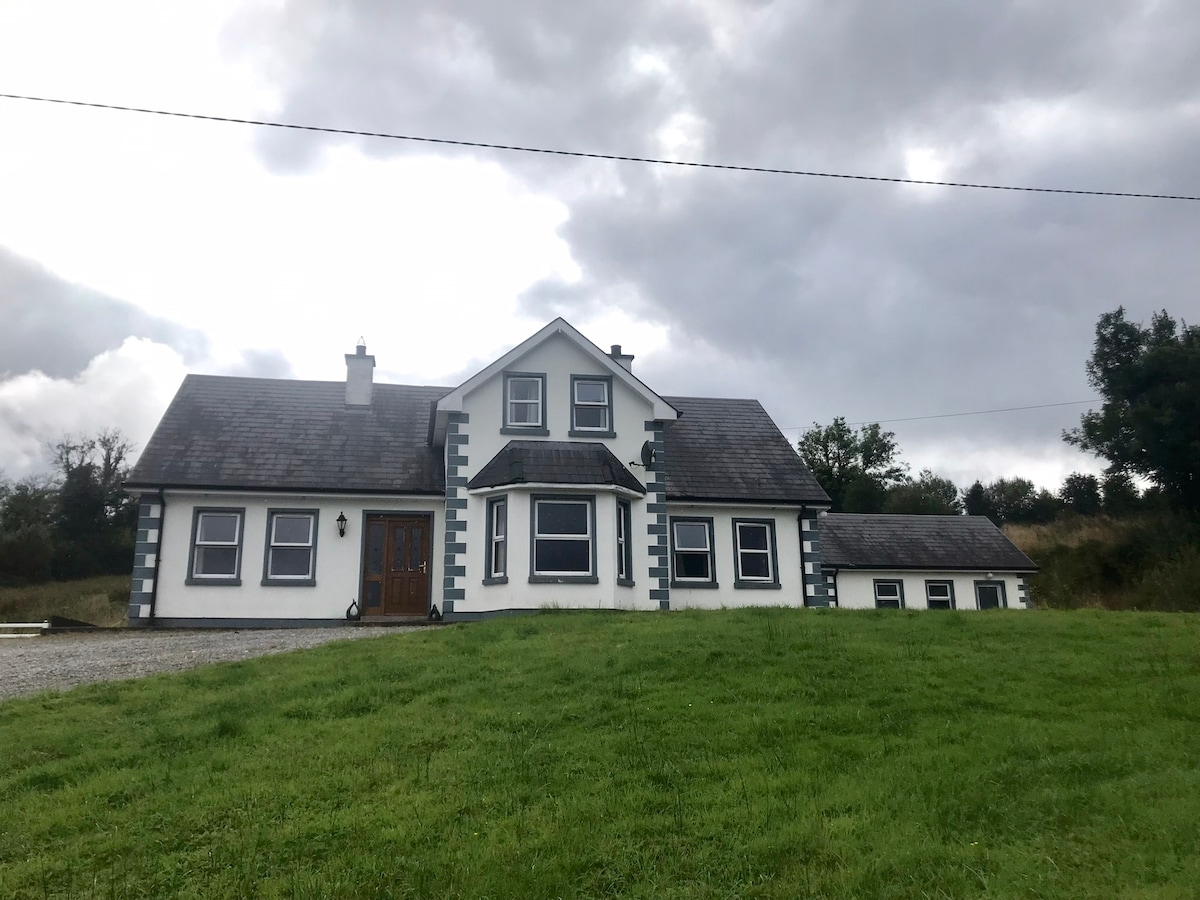 IndicatedBawn · 1.0 mi
 Graveyard in Curry (ardagh By., Coolamber Ed)Graveyard · 1.4 mi
 CastleCastle, tower house · 1.8 mi
 First World War MemorialMemorial · 4.1 mi
 Saint Mel's CathedralCathedral · 4.2 mi
 Commons North WalkVisitor information · 6.8 mi
 Wild birdsVisitor information · 6.9 mi
 White Sand WoodWood · 6.9 mi