What is recorded here
On wet unimproved grassland at W edge of ridge in upland area with good views in all directions, overlooking stream immediately to W. Monument consists of a slightly raised circular area (diam. 30m N-S; 32m E-W) enclosed by an earthen bank mainly reduced to a scarp (H 0.4m) and outer fosse (top Wth 3m; base Wth 1m; D 0.2m) visible from N through E to S only, no entrance feature visible. Fosse and scarp runs onto steep drop to W (H 2m) which overlooks stream running N-S. Monument in a fair to good condition though in a much degraded state.
Compiled by: Jean Farrelly
Date of upload: 26 August 2011
The monument record does not grant public access. Check the route and ask the landowner before entering private land.
- What survives
- Recorded monument
Places near here
 RoadRoad, road/trackway · 918 yd
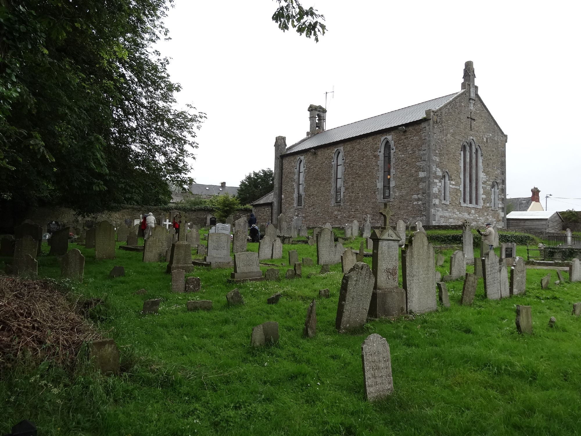 Church in GragaughChurch · 938 yd
 Enclosure in MohoberEnclosure · 1569 yd
 Bawn in LismalinBawn · 1.5 mi
 Enclosure in GlengallEnclosure · 1.9 mi
 Top Field at Carey'sForest · 1.9 mi
 Second Field on the HillForest · 2.0 mi
 Site of CastleCastle, unclassified · 2.3 mi
 Warhouse HillMountain / peak · 3.6 mi
 Knockuragh HillMountain / peak · 3.8 mi
 Ballykeefe AmphitheatreHeritage attraction · 5.8 mi
 Ballykeefe QuarryCliff · 5.8 mi