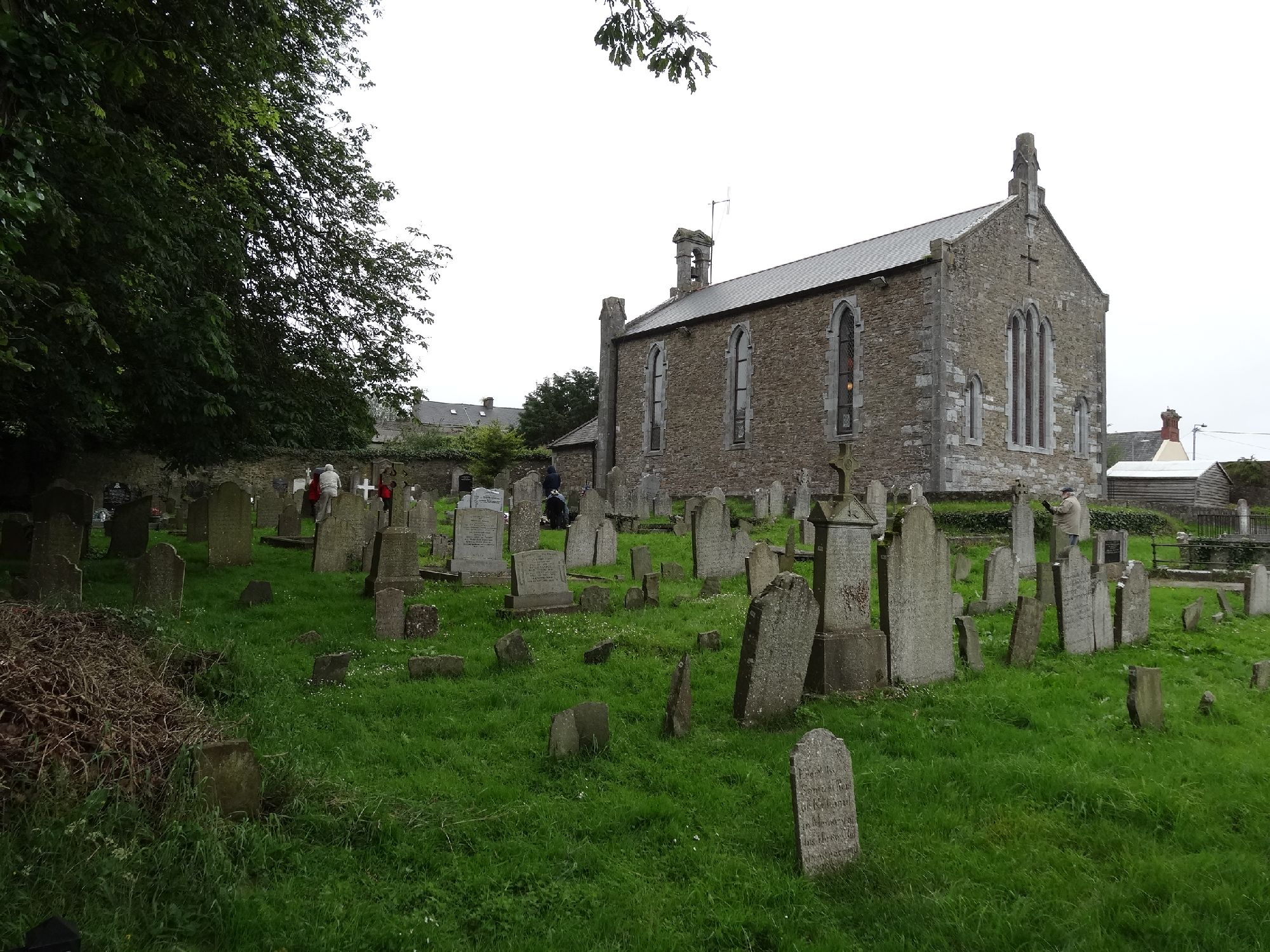
What is recorded here
In flat, poorly drained grassland in upland region with good views in all directions. According to local information, this area was known as Seana Bhaile (the Old Town) and there was a church in this field which served the surrounding settlement (OPW Correspondence 1991). There was also a tradition of a possible pillar stone standing near the church which had fallen and been buried out of sight in the undergrowth of a ditch (OPW correspondence 1991). It may have been the cell of Lismalin church, mentioned in the Extent of the Irish Monastic possessions (White 1943, 327), which was the property of Hore Abbey. There is no visible trace of this church at ground level.
Compiled by: Jean Farrelly
Date of upload: 26 August 2011
A local church or high cross; wider significance not recorded.
This remains an important historical record, but the official description says the monument is no longer visible or has been destroyed. The monument record does not grant public access. Check the route and ask the landowner before entering private land.
- What survives
- No visible remains or recorded as destroyed
Places near here
 RoadRoad, road/trackway · 59 yd
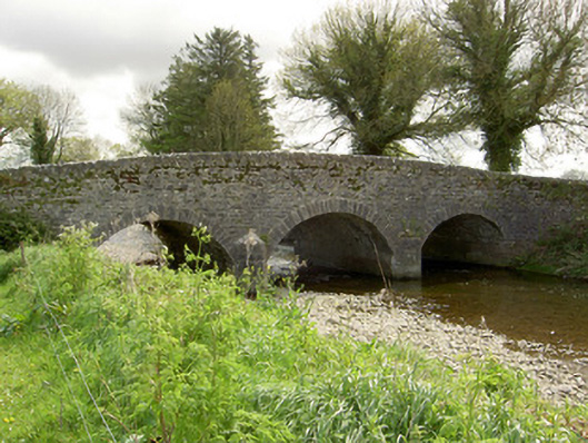 Islands Bridgebridge · 1638 yd
 Bawn in LismalinBawn · 1.0 mi
 Enclosure in MohoberEnclosure · 1.2 mi
 IndicatedEnclosure · 1.5 mi
 Modeshil Castle (in ruins)Castle · 2.2 mi
 Pedunculate OakPedunculate Oak · 2.3 mi
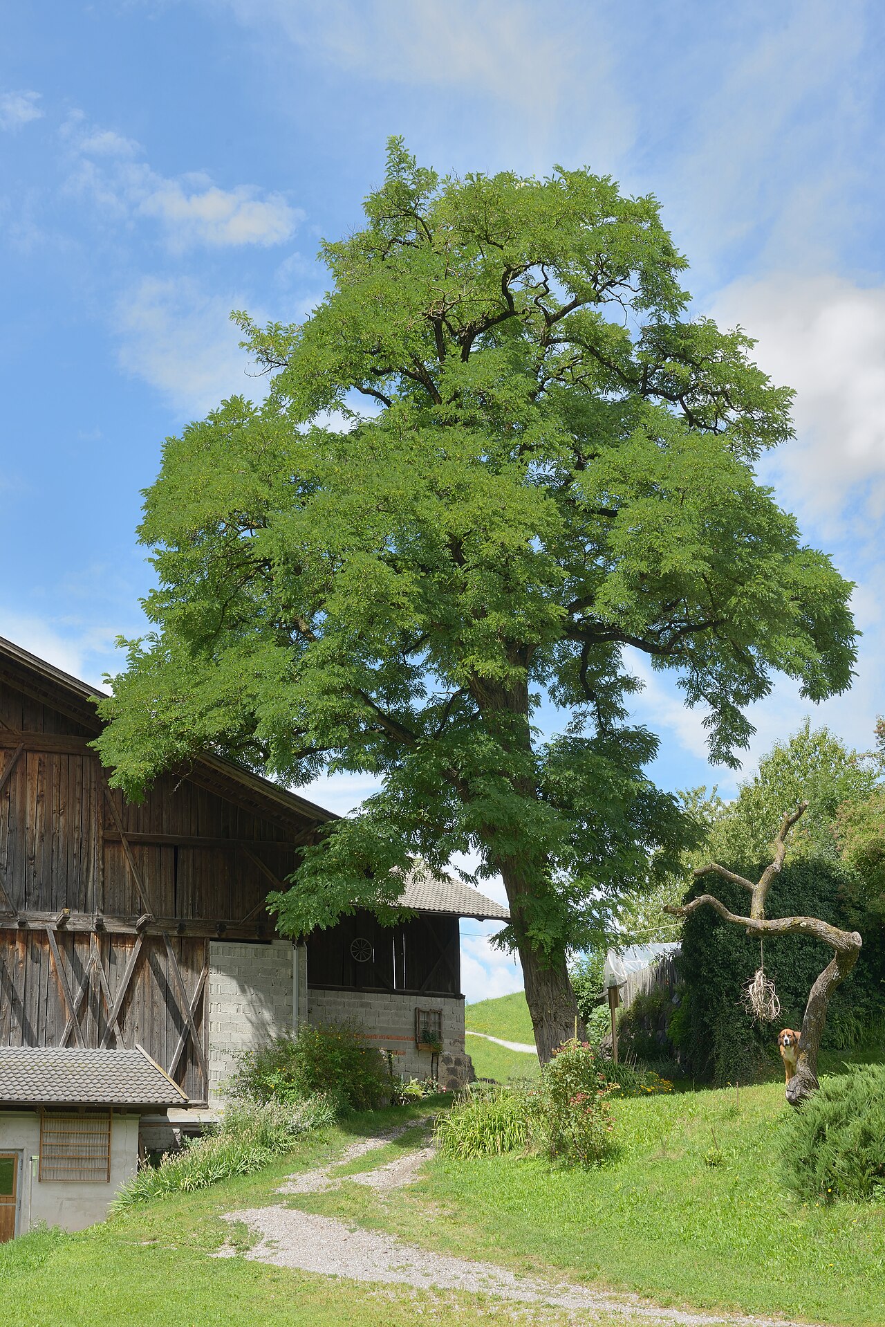 Black LocustBlack Locust · 2.5 mi
 Knockuragh HillMountain / peak · 3.2 mi
 Warhouse HillMountain / peak · 4.1 mi
 Derrynaflan TrailHeritage attraction · 8.3 mi
 Gobban Saer's GraveArchaeological place · 9.2 mi
Other information
Photo: Credit not shown in the picture search · Rights wording not checked; contact us if this picture should be removed