
What is recorded here
On poorly drained slightly undulating grassland atop low rise of ground with good views in all directions. Nearby moated site (TS055-059----) 220m to S. Not visible at ground level. Indicated as a circular enclosure on the 1840 ed. OS 6-inch map and as a partial enclosure on the 1903 ed. OS 6-inch map.
Compiled by: Jean Farrelly
Date of revised upload: 15 September 2015
A local fairy fort (ringfort/rath); wider significance not recorded.
The monument record does not grant public access. Check the route and ask the landowner before entering private land.
- What survives
- Recorded monument
Places near here
 Pedunculate OakPedunculate Oak · 1.2 mi
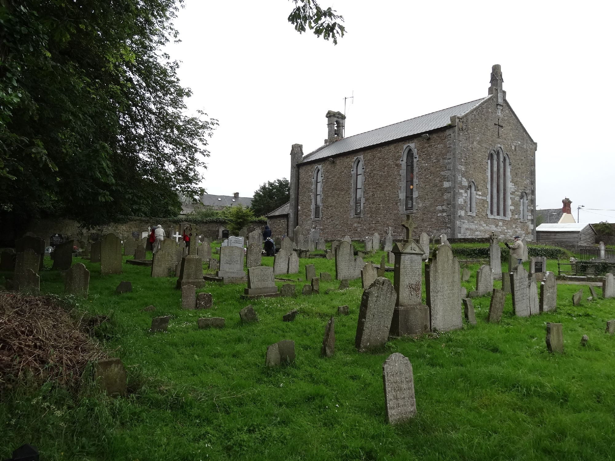 Church in GragaughChurch · 1.2 mi
 RoadRoad, road/trackway · 1.2 mi
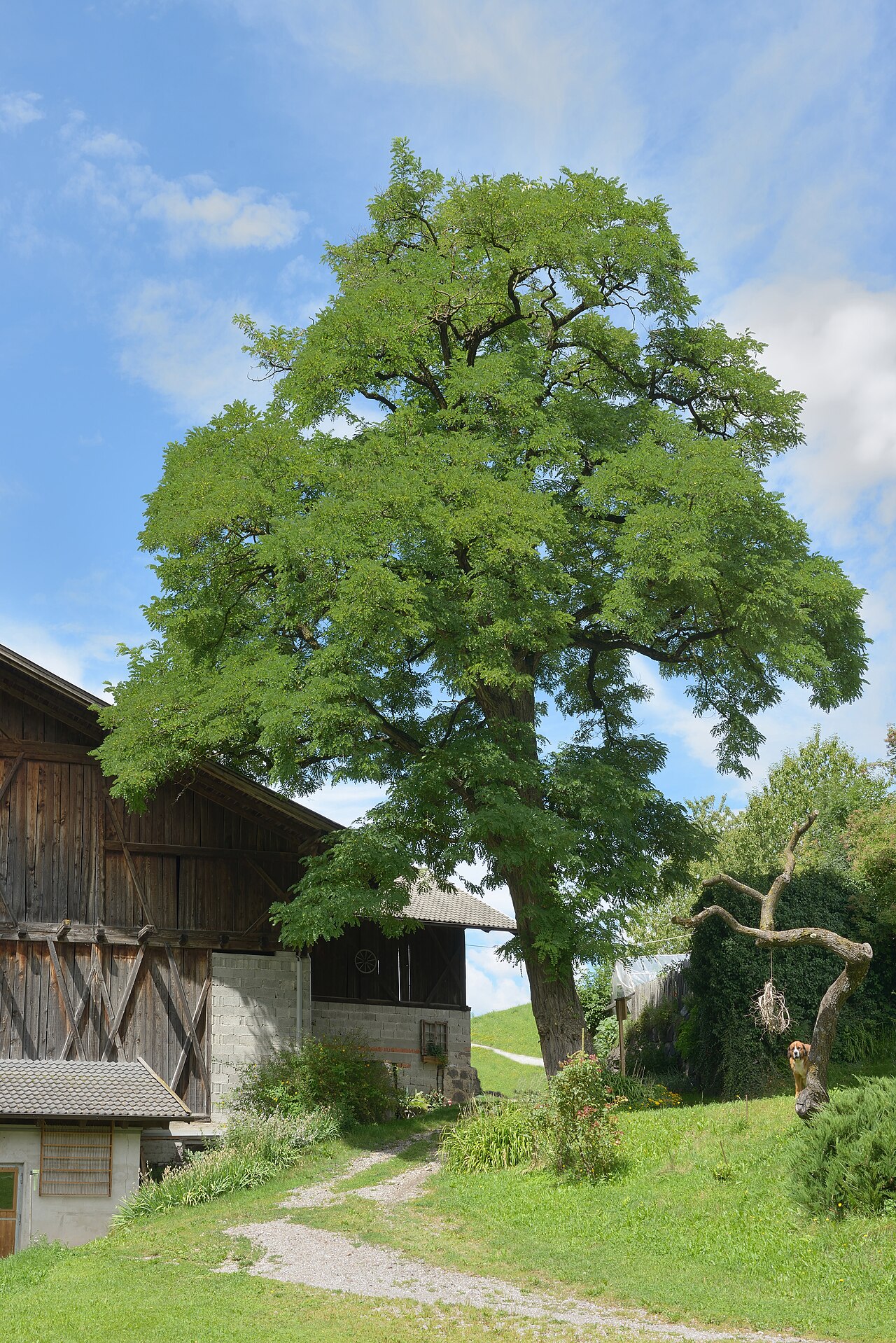 Black LocustBlack Locust · 1.3 mi
 Modeshil Castle (in ruins)Castle · 1.9 mi
 Bawn in LismalinBawn · 2.1 mi
 Crannlaght TreeRitual site, holy tree/bush · 2.1 mi
 Enclosure in BallydonnellEnclosure · 2.5 mi
 Warhouse HillMountain / peak · 3.8 mi
 Edmund Rice Heritage CentreMuseum · 4.3 mi
 Knockuragh HillMountain / peak · 4.3 mi
 Local LifeVisitor information · 4.6 mi
Other information
Photo: Credit not shown in the picture search · Rights wording not checked; contact us if this picture should be removed