
What is recorded here
In level pasture, abutting regional road (R690) to SW. A roughly sub-circular area (dims. 62m NE-SW; 58m NW-SE) defined by a low earthen bank (Wth at top 1m; overall Wth 3.5m; int. H 0.2m; ext. H 0.55m) and fosse (basal Wth 1.5m; overall Wth 4m; D 0.65m) from W-N-ENE. The bank is incorporated into a field boundary W-N-NE and reduced to scarp (Wth 4m; H 0.4m) NE-E-SSW. The monument has been levelled and the outer edge of the SW sector has been incorporated into a small farmyard. There is a gap (Wth 4m) at NW and another (Wth 3m) at NE. The level interior has been incorporated into the field as pasture.
Compiled by: Jean Farrelly
Date of upload: 26 August 2011
The monument record does not grant public access. Check the route and ask the landowner before entering private land.
- What survives
- Recorded monument
Places near here
 Fenane WoodForest · 1051 yd
 Killaghy Castlecountry house · 1.0 mi
 Enclosure in Modeshil (ayre)Enclosure · 1.2 mi
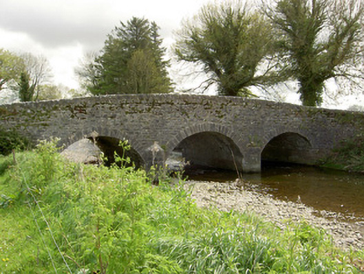 Islands Bridgebridge · 1.2 mi
 Crannlaght TreeRitual site, holy tree/bush · 1.2 mi
 St. Johns Monastery (in ruins)Castle, hall-house · 1.4 mi
 Modeshil Castle (in ruins)Castle · 1.5 mi
 Knockuragh HillMountain / peak · 2.4 mi
 Pedunculate OakPedunculate Oak · 3.0 mi
 The SpoutMemorial · 4.7 mi
 KillameryVisitor information · 4.8 mi
 Killamery High CrossVisitor information · 4.8 mi
Other information
Photo: Credit not shown in the picture search · Rights wording not checked; contact us if this picture should be removed