
What is recorded here
A roughly circular enclosure (diam. c. 47m) identified on an aerial photograph (ASIAP (26) 21, 22).
Compiled by: Jean Farrelly
Date of upload: 16 December 2013
A local fairy fort (ringfort/rath); wider significance not recorded.
The monument record does not grant public access. Check the route and ask the landowner before entering private land.
- What survives
- Recorded monument
Places near here
 Killaghy Castlecountry house · 694 yd
 Fenane WoodForest · 1010 yd
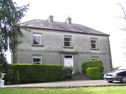 Oakfield Househouse · 1240 yd
 Saw Mill (site of)Archaeological place · 1319 yd
 Site of) Isertkieran ChurchChurch · 1386 yd
 St. Johns Monastery (in ruins)Castle, hall-house · 1398 yd
 Knockuragh HillMountain / peak · 2.0 mi
 Silver FirSilver Fir · 2.3 mi
 Bawn in LismalinBawn · 2.4 mi
 The SpoutMemorial · 3.9 mi
 Killamery High CrossVisitor information · 4.3 mi
 KillameryVisitor information · 4.3 mi
Other information
Photo: Credit not shown in the picture search · Rights wording not checked; contact us if this picture should be removed