What is recorded here
Half a metre of raised earth marks a forgotten chamber on the drumlin crest. People may have stood inside that circle, watched the valley, or left before the grass returned. The field bank now cuts across the ancient line, proving that human memory comes and goes while the shape endures.
Located at the crest of the S-facing slope of a drumlin. This is a circular platform (diam. 28m NW-SE; c. 26m NE-SW) defined by a slight scarp (max. H 0.4m at SE) NW-SE. The monument is overlain by a NW-SE field bank and drain with reclaimed pasture to the NE of this feature. It was overgrown to the SW of the field bank in 1991, although this growth has been cleared (Bing 2013). Rath (LE025-040---) is c. 60m to the N.
The above description is derived from 'The Archaeological Inventory of County Leitrim' compiled by Michael J. Moore (Dublin: Stationery Office, 2003). In certain instances the entries have been revised and updated in the light of recent research.
Date of upload: 23 September 2008
The monument record does not grant public access. Check the route and ask the landowner before entering private land.
- What survives
- Recorded monument
Places near here
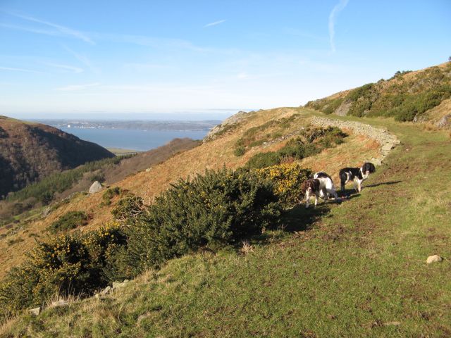 Embanked enclosureFairy fort / earthen ringfort · 716 yd
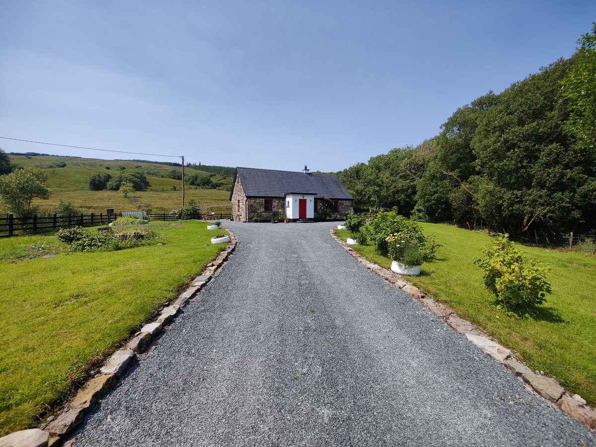 EnclosureFairy fort / earthen ringfort · 821 yd
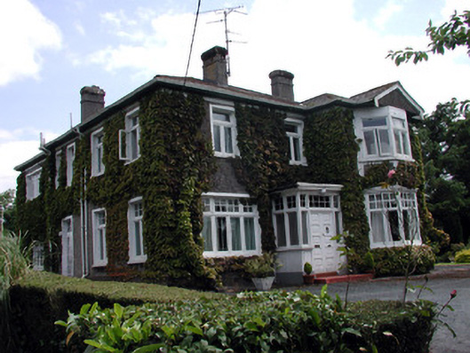 Maryvillehouse · 1458 yd
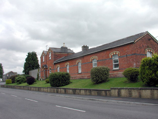 Saint Felim's Collegerailway station · 1461 yd
 DrumbadMountain / peak · 2.4 mi
 DrumgownaghMountain / peak · 2.6 mi
 Swan Island pet farmHeritage attraction · 2.6 mi
 Bawn in Cherry IslandBawn · 3.1 mi
 Cherry IslandIslet · 3.1 mi
 BatteryBawn · 3.2 mi
 Cornagunleog ForestForest · 3.4 mi
 Cromlin Bridge WoodWood · 3.5 mi