What is recorded here
Fairy forts are human places misnamed, often by people who stopped asking questions. In Castletownroche the ring remains beside a farmyard: a shallow oval bench of earth, no more than seventy centimetres high, with a faint internal lip and a possible gap toward the east. People may have lived there, excluded others there, or simply marked the edge of a field. The fairies are not the interesting part. The forgotten human boundary is.
In pasture on NE side of farmyard. Depicted as hachured circular enclosure on 1842 OS 6-inch map; hachured as circular area (diam. c. 18m) enclosed by fosse on 1935 OS 6-inch map. Slightly raised area (30m N-S; 24m E-W), almost oval in plan, defined by scarp (H 0.7m) with evidence of bank surviving as slight internal lip (H 0.2m); shallow external fosse (D 0.3m). According to local information fosse infilled c. 1969. Possible entrance to ESE.
The above description is derived from the published 'Archaeological Inventory of County Cork. Volume 4: North Cork' (Dublin: Stationery Office, 2000). In certain instances the entries have been revised and updated in the light of recent research.
Date of upload/revision: 14 January 2009
A fairy fort or earthen ringfort in Castletownroche, likely dating to the early medieval period, is indicated by its circular enclosure and fosse, as shown on 19th- and 20th-century Ordnance Survey maps. Local tradition associates such sites with fairy folklore, reflecting their perceived otherworldly significance in Irish cultural memory.
The monument record does not grant public access. Check the route and ask the landowner before entering private land.
- What survives
- Recorded monument
Places near here
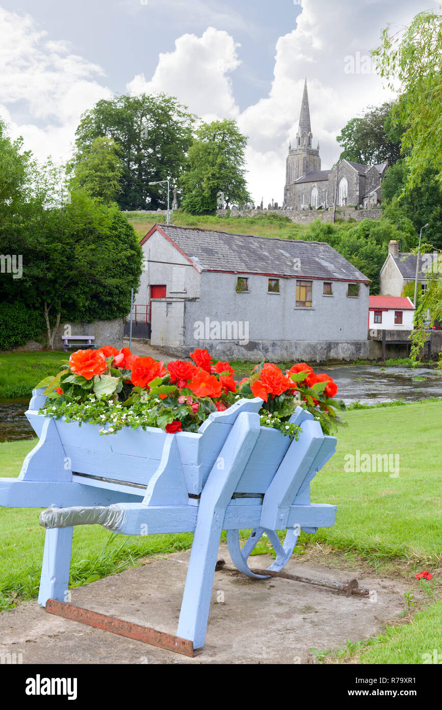 BarrowBarrow, ring-barrow · 170 yd
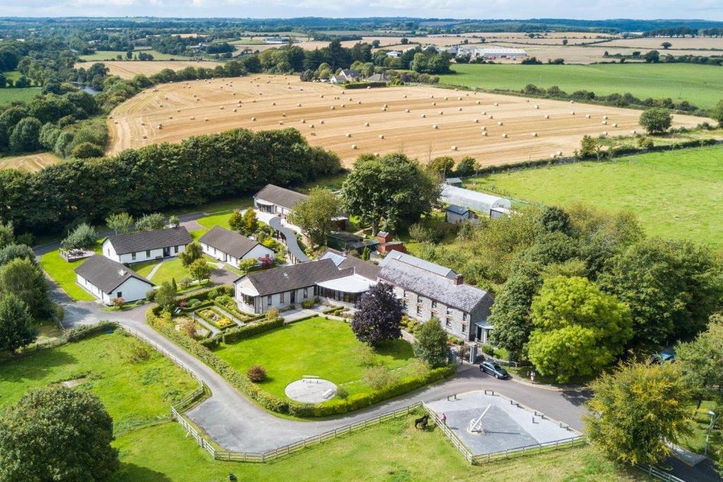 Fulacht fia in CastletownrocheFulacht fia · 568 yd
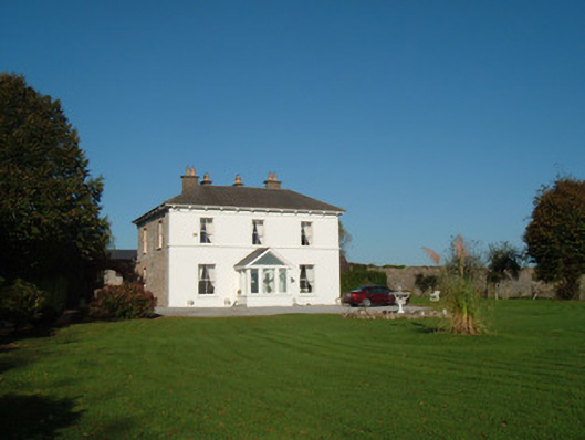 The Closecountry house · 1360 yd
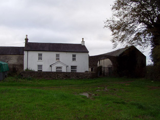 Home Farmfarmyard complex · 1495 yd
 Anne's Grove GardensHeritage attraction · 1.3 mi
 Shanballymore Castle (Site of)Castle, unclassified · 2.1 mi
 Ruane Castle (Site of)Castle, unclassified · 2.9 mi
 Blackwater (Avondhu) WayWalking route · 3.9 mi
 Pedunculate OakPedunculate Oak · 4.2 mi
 Scots PineScots Pine · 4.4 mi
 Knocknaskagh North TopMountain / peak · 4.9 mi
 Flat cemetery in Ballyenahan NorthFlat cemetery · 4.9 mi