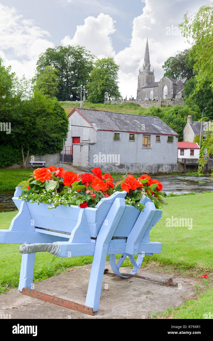
What is recorded here
In pasture. Depicted on 1935 OS 6-inch map as hachured circular raised area (diam. c. 16m) surrounded by fosse SSE->N, with E side truncated by field boundary. Levelled; slight rise visible in area of site.
The above description is derived from the published 'Archaeological Inventory of County Cork. Volume 4: North Cork' (Dublin: Stationery Office, 2000). In certain instances the entries have been revised and updated in the light of recent research.
Date of upload/revision: 14 January 2009
Ring-barrow, likely dating to the Early Bronze Age. Its truncated and levelled condition suggests it was once a significant burial monument, typical of the period, though its current state limits further archaeological interpretation.
The monument record does not grant public access. Check the route and ask the landowner before entering private land.
- What survives
- Recorded monument
Places near here
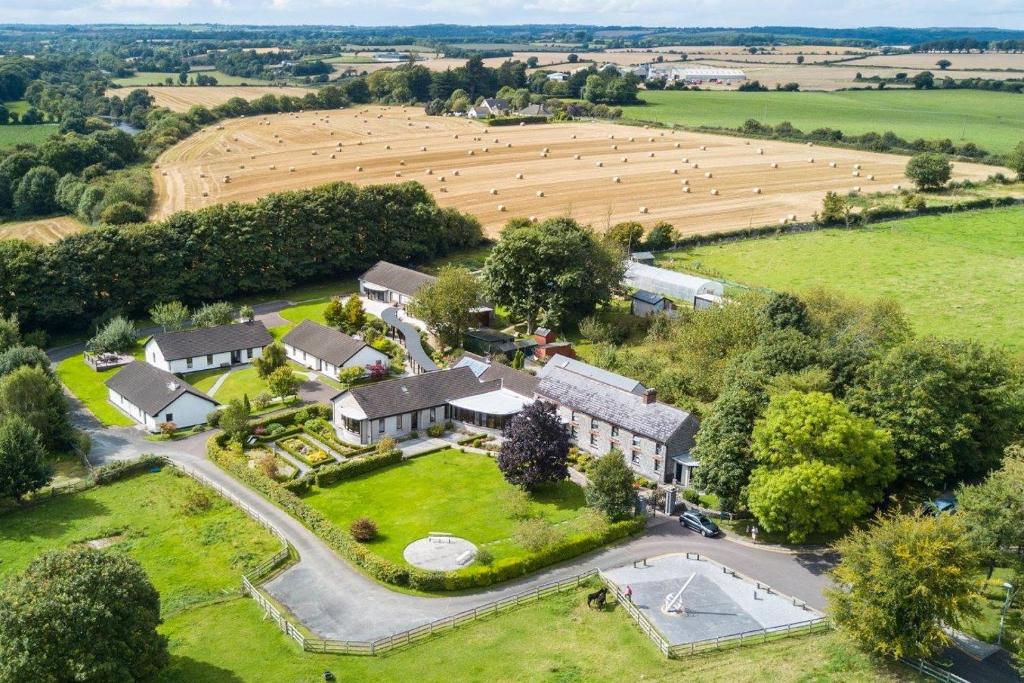 Fulacht fia in CastletownrocheFulacht fia · 419 yd
 Enclosure in CastletownrocheEnclosure · 1145 yd
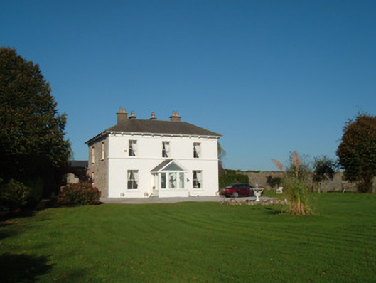 The Closecountry house · 1192 yd
 Church in Ballyellis (fermoy By., Templeroan Par.),ballyellis (fermoy By., Wallstown Par.)Church · 1589 yd
 Anne's Grove GardensHeritage attraction · 1.3 mi
 Shanballymore Castle (Site of)Castle, unclassified · 2.2 mi
 Ruane Castle (Site of)Castle, unclassified · 3.0 mi
 Blackwater (Avondhu) WayWalking route · 3.8 mi
 Pedunculate OakPedunculate Oak · 4.3 mi
 Priest's WoodForest · 4.3 mi
 Knocknaskagh North TopMountain / peak · 4.8 mi
 Flat cemetery in Ballyenahan NorthFlat cemetery · 4.9 mi
Other information
Photo: Credit not shown in the picture search · Rights wording not checked; contact us if this picture should be removed