What is recorded here
Fairy fort in Cartron, County Longford: a 34-metre earthen ring in low pasture beside the Tang River, with a 1.8-metre scarp and a narrow fosse at its base. The outer bank has vanished and the entrance cannot be recognised, yet the circle still holds its shape in rough ground. It may have been a dwelling, a boundary marker or a place people avoided after dark; the earth has kept the shape while forgetting the reason.
In rough, low-lying pasture; the Tang River, which marks the border between counties Longford and Westmeath, is adjacent to the SE. A report in 1976 (SMR file) indicates that this raised circular area (diam. c. 34m) was defined by two banks with an intervening fosse. It is defined by a scarp (H 1.8m), at the base of which is a fosse (Wth 2.6m; D 0.4-1.3m). The outer bank is no longer identifiable and the original entrance is not recognisable.
Compiled by: Patrick F. O'Donovan
Date of upload: 28 November 2011
The monument record does not grant public access. Check the route and ask the landowner before entering private land.
- What survives
- Recorded monument
Places near here
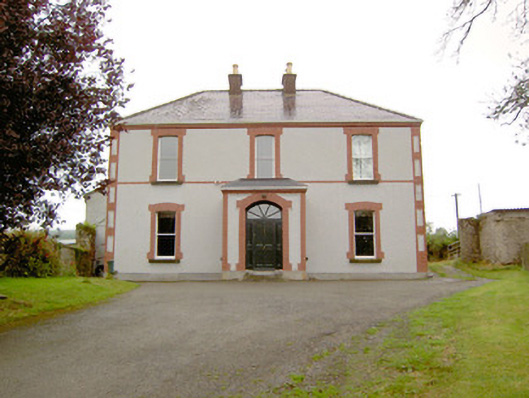 Rathmore Househouse · 825 yd
 IndicatedFairy fort / earthen ringfort · 918 yd
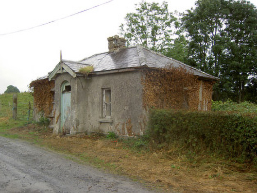 Cartron Housegate lodge · 1179 yd
 European BeechEuropean Beech · 1295 yd
 Partially hachuredCliff-edge fort · 1348 yd
 Noughaval CemeteryArchaeological place · 1495 yd
 OutlinedCastle, unclassified · 2.0 mi
 CastleCastle, motte · 2.1 mi
 Target WoodWood · 2.8 mi
 Newcastle WoodsForest · 3.0 mi
 Guest ServicesVisitor information · 3.1 mi
 Craft WorkshopHeritage attraction · 3.1 mi