What is recorded here
Lisbaun/Lios Bán: Situated immediately W of a small stream on a N facing slope overlooking Brandon Bay. The site is described in the OSNB (Stradbally, 22) as a circular fort about 2 chains (c. 40m) in diameter, 4 feet (c. 1.2m) high and composed of earth. On the 2nd edition of the OS map the circular interior is enclosed by one complete bank while a 2nd outer bank is present to N only. An aerial photograph taken in 1949 (Ministry of Defence) shows only the inner bank. The site was levelled about 5 years ago and no visible trace survives.
The above description is derived from J. Cuppage, ‘Corca Dhuibhne. Dingle Peninsula archaeological survey. Ballyferriter. Oidhreacht Chorca Dhuibhne’ (1986), no. 650. In certain instances the entries have been revised and updated in the light of recent research.
Date of upload: 7 August 2013
A fairy fort or earthen ringfort in Cappateige, likely dating to the early medieval period, is associated with the local name Lisbaun or Lios Bán, suggesting a possible connection to early Christian or pre-Christian tradition. The site's location on a slope overlooking Brandon Bay may reflect strategic or ritual significance, and the name "Lios Bán" (White Enclosure) is often linked to both ancient Irish settlements and later fairy lore.
This remains an important historical record, but the official description says the monument is no longer visible or has been destroyed. The monument record does not grant public access. Check the route and ask the landowner before entering private land.
- What survives
- No visible remains or recorded as destroyed
Places near here
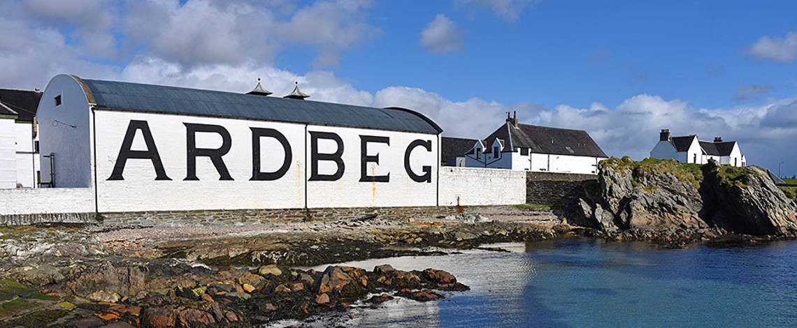 Man-made underground passage in Ardbeg,gowlane (corkaguiny By.)Man-made underground passage · 1728 yd
 Hillville WoodWood · 1.0 mi
 TobermurryHoly well · 1.3 mi
 Stradbally Church (in ruins)Church · 1.4 mi
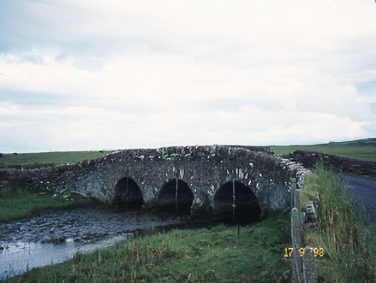 bridgebridge · 1.4 mi
 Site of CastleCastle, unclassified · 1.5 mi
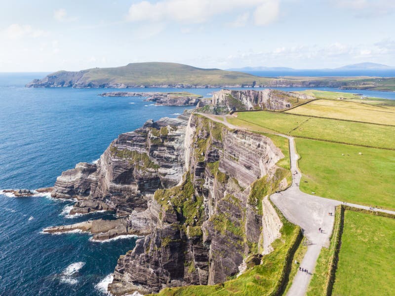 An Com BánMountain / peak · 1.7 mi
 Binn os GaoithMountain / peak · 2.0 mi
 Fermoyle BeachBeach / strand · 2.3 mi
 IndicatedCastle, tower house · 2.4 mi
 Drom BeachBeach / strand · 2.4 mi
 Pointe na CathrachHeadland · 2.7 mi