What is recorded here
Fairy fort in Camlisk More, County Longford: an oval earth-and-stone ring, 58.7m by 38.2m, with a waterlogged fosse, now grazed and partly levelled in low pasture. Cattle have rubbed the bank thin and filled the ditch, and the entrance has vanished under grass and traffic of hooves. What remains is a shallow breath of the old shape, still visible when the land is wet and quiet.
In low-lying pasture. A raised oval area (58.7m NE-SW; 38.2m NW-SE) enclosed by a low bank of earth and stone (Wth 5.1m; H 0.6m max.) with a wide, deep, waterlogged external fosse (Wth 5.2m; D 0.5m). From NW-N-ESE the enclosing elements have been levelled. Elsewhere the bank is denuded almost to ground level and the fosse is largely infilled due to cattle-trampling. The original entrance is not recognisable.
Compiled by: Patrick F. O'Donovan
Date of upload: 26 August 2011
The monument record does not grant public access. Check the route and ask the landowner before entering private land.
- What survives
- Recorded monument
Places near here
 Fulacht fia in TinnynarrFulacht fia · 670 yd
 Burnt spread in TinnynarrBurnt spread · 1169 yd
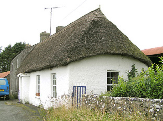 Moore's Townhouse · 1259 yd
 Abbey (in Ruins)Religious house, Franciscan Third Order Regular · 1573 yd
 CastleCastle, ringwork · 1.1 mi
 Edgeworthstown BypassMemorial · 1.2 mi
 Moat & CastleCastle, motte and bailey · 1.8 mi
 Oldtown DemesneForest · 2.5 mi
 Oldtown CopseWood · 2.5 mi
 Clonfin Ambush MemorialMemorial · 4.5 mi
 Granard MotteMotte-and-bailey castle remains · 7.5 mi
 1798 Monumentmonument · 7.6 mi