What is recorded here
Fairy forts hide in plain sight, wearing pasture and grass instead of stone. That is why people often walk past them without knowing they are entering old ground. The ringfort in Bushypark has no visible trace today, yet it appeared on maps as a circular enclosure and a circle of trees. Perhaps it is still there beneath the soil, waiting for rain, roots or memory to reveal its shape.
In pasture, on N-facing slope. Possible ringforts (CO044-022--- and CO044-023---) and ringfort (CO044-021---) to W. Hachured as circular enclosure (diam. c. 35m) on 1904 OS 6-inch map. Shown as circle of trees (diam. c. 20m) on OS 1842 map. No visible surface trace.
The above description is derived from the published 'Archaeological Inventory of County Cork. Volume 2: East and South Cork' (Dublin: Stationery Office, 1994). In certain instances the entries have been revised and updated in the light of recent research.
Date of upload/revision: 14 January 2009
The monument record does not grant public access. Check the route and ask the landowner before entering private land.
- What survives
- Recorded monument
Places near here
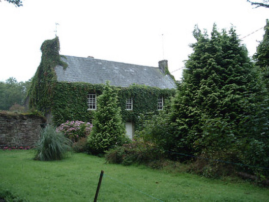 Bushy Park Househouse · 385 yd
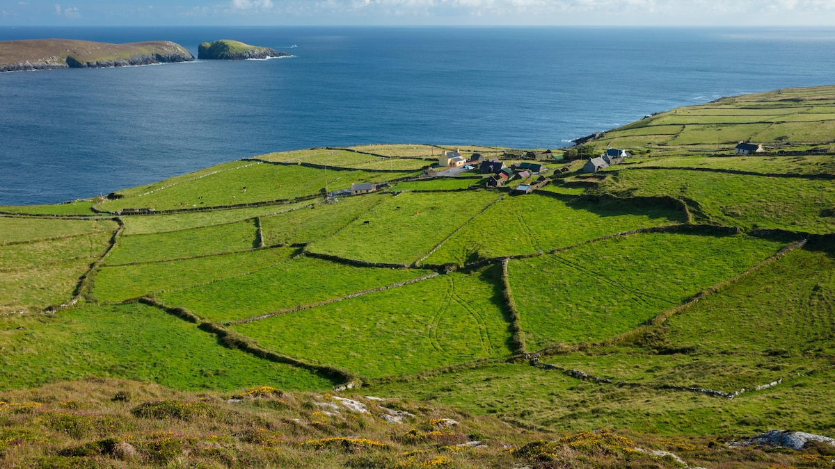 IndicatedFairy fort / earthen ringfort · 602 yd
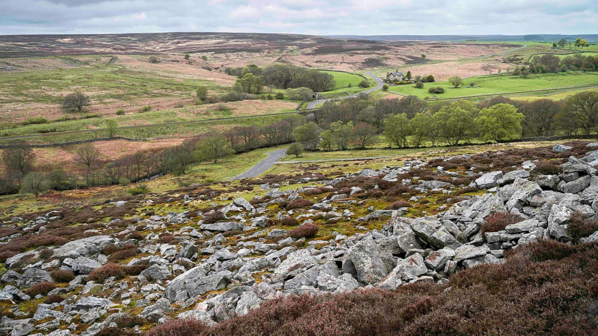 Burnt mound in MountcatherineBurnt mound · 717 yd
 Castle (in Ruins)Castle, unclassified · 1357 yd
 Scartbarry Househouse · 1.4 mi
 Graveyard in Killuntin NorthGraveyard · 2.4 mi
 Devonshire's HillMountain / peak · 2.7 mi
 Rathcormac massacremassacre · 3.1 mi
 Tower (in Ruins)Bawn · 3.2 mi
 Monananig WoodsWood · 3.4 mi
 Graveyard in GlenvilleGraveyard · 3.7 mi
 Moanbaun ForestForest · 3.9 mi