What is recorded here
On a hummock in grassland. Circular ringfort (D 42m), in fair condition, defined by a bank of earth and stone from E through S to W, and elsewhere by a scarp. Field boundaries cut the monument at E, SE and W. Possible internal divisions visible within the interior.
The above description is derived from the published 'Archaeological Inventory of County Galway Vol. II - North Galway'. Compiled by Olive Alcock, Kathy de hÓra and Paul Gosling (Dublin: Stationery Office, 1999).
Date of upload: 05 August 2010
The monument record does not grant public access. Check the route and ask the landowner before entering private land.
- What survives
- Recorded monument
Places near here
 Site of FortFairy fort / earthen ringfort · 1 yd
 RathbaunArchaeological place · 709 yd
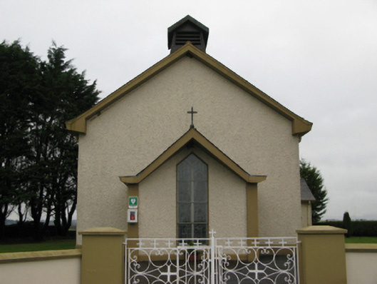 Saint Joseph's Catholic Churchchurch/chapel · 1753 yd
 Bawn in BlindwellBawn · 1.4 mi
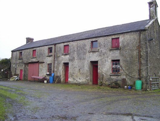 Blindwell Housefarmyard complex · 1.4 mi
 Castle (in ruins)Castle, unclassified · 1.7 mi
 European YewEuropean Yew · 3.1 mi
 Pesooge PlantationForest · 5.5 mi
 Mass RockNamed rock · 5.9 mi
 Ross Errilly FriaryHeritage attraction · 10 mi
 Inis Mhic an TrírIsland · 12 mi
 Otter IslandIslet · 13 mi