What is recorded here
Situated close to mountain top in previously afforested area. Not marked on the 1841 edition of the OS 6-inch map. Depicted on subsequent editions as a circular-shaped enclosure.
Monument inspected on the 21/09/2018 and described as a circular shaped area (approx. int. diam. 20m) enclosed by an earthen bank (Wth 1.5m; H 1m) with two gaps in the bank at NE, one of which may be an original entrance feature. The enclosing bank is truncated at N and S by drainage ditches running E-W across the monument.
See attached sketch plan of monument
The above description is derived from the published 'Archaeological Inventory of County Laois' (Dublin Stationery Office, 1995) compiled by P. David Sweetman, Olive Alcock and Bernie Moran. In certain instances the entries have been revised and updated in the light of recent research.
Compiled by: Caimin O'Brien based on details kindly provided by Valerie Kelly.
Date of upload: 28 November 2018
The monument record does not grant public access. Check the route and ask the landowner before entering private land.
- What survives
- Recorded monument
Places near here
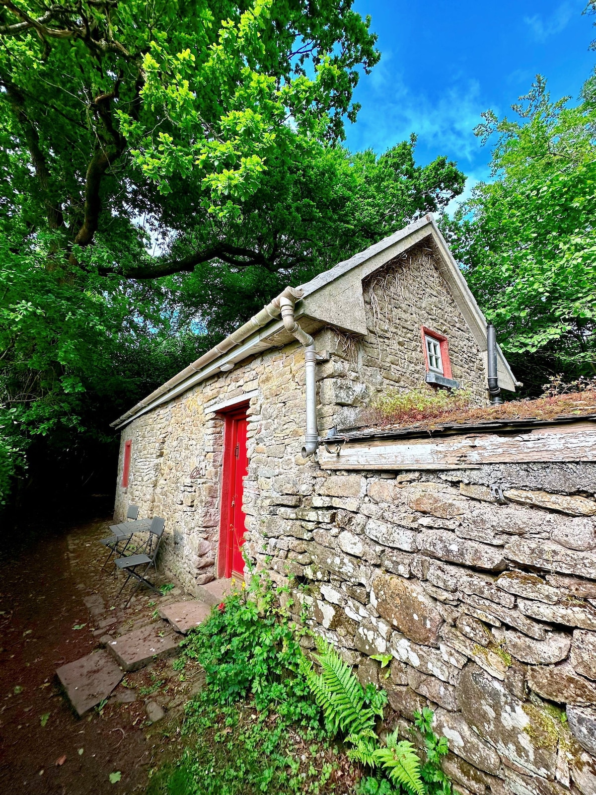 Enclosure in BarradoosEnclosure · 468 yd
 Enclosure in CastlecuffeEnclosure · 1545 yd
 Slieve Bloom MountainsMountain range · 1.4 mi
 Giant's Grave LoopWalking route · 1.8 mi
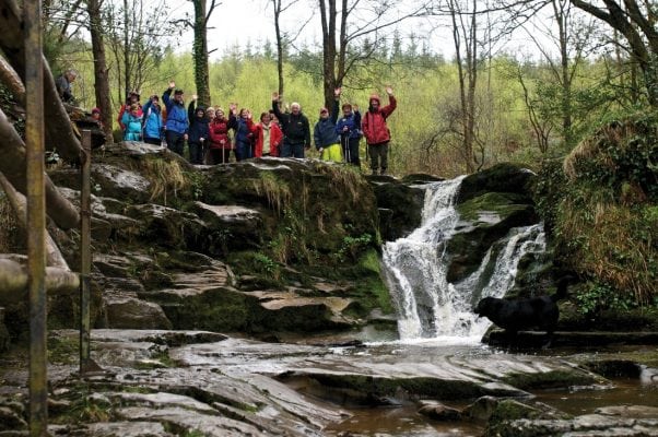 Slieve Bloom WayWalking route · 2.0 mi
 Partiall hachuredBawn · 2.3 mi
 Site of CastleCastle, unclassified · 2.4 mi
 Sitka SpruceSitka Spruce · 2.5 mi
 Church (in Ruins), Graveyard, CarrigeenChurch · 2.5 mi
 Letter Ho.House, 17th century · 2.6 mi
 Graveyard in LetterGraveyard · 2.6 mi
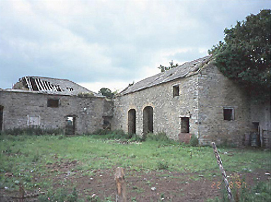 Castlecuffestables · 2.8 mi