What is recorded here
In upland area where forest has been felled. Not marked on 1841 edition of the OS 6-inch map but appears on 1888 and 1910 editions As a subcircular enclosure (max. diam. c. 30m N-S). Not located, but appears to have been destroyed by afforestation. David Sweetman, Olive Alcock and Bernie Moran.
From the National Monuments Service (Archaeological Survey of Ireland) record LA006-004
The monument record does not grant public access. Check the route and ask the landowner before entering private land.
- What survives
- Recorded monument
Places near here
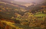 Slieve Bloom MountainsMountain range · 1.5 miGiant's Grave LoopWalking route · 1.9 miPartiall hachuredBawn · 2.0 miSlieve Bloom WayWalking route · 2.2 miSite of CastleCastle, unclassified · 2.3 miChurch (in Ruins), Graveyard, CarrigeenChurch · 2.4 mi
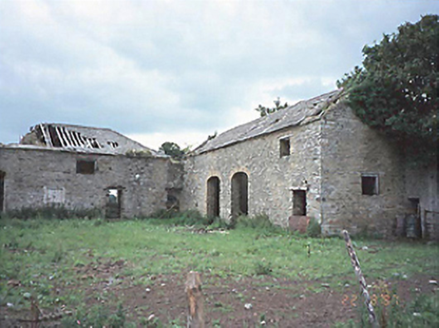 CastlecuffeStables · 2.5 mi
 Sitka Spruce2.7 mi
 ToberlugnaHoly well · 2.8 mi
 Brittas HouseRuins · 2.8 mi
 BaunreaghcongMountain / peak · 3.9 mi
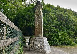 Stone CrossCross, High cross (present location) · 4.5 mi
Pictures: Mooro1, Wikimedia Commons · CC BY-SA 4.0; National Inventory of Architectural Heritage; Wsiegmund, Wikimedia Commons · CC BY 2.5; Jonathan Thacker, Geograph · Creative Commons Attribution-ShareAlike 2.0; Mike Searle, Geograph · CC BY-SA 2.0; kevin higgins, Wikimedia Commons · CC BY-SA 2.0; Zepherb, Wikimedia Commons · CC BY-SA 4.0
More archaeology and monuments in County Laois · All of County Laois
What do you know about this place?