What is recorded here
No visible fort remains at Ballyspillane West, but the hidden boundary may still belong to the region. The area is marked as a lost ringfort, and that missing shape invites imagination rather than invention.
In pasture, on break in S-facing slope. Indicated by dotted circle on 1842 OS 6-inch map (diam. c. 35-40m). Defined by arc formed by erathen bank (H 2.55m) WNW->ENE, with external fosse (D 1.15m).
The above description is derived from the published 'Archaeological Inventory of County Cork. Volume 2: East and South Cork' (Dublin: Stationery Office, 1994). In certain instances the entries have been revised and updated in the light of recent research.
Date of upload/revision: 14 January 2009
The monument record does not grant public access. Check the route and ask the landowner before entering private land.
- What survives
- Recorded monument
Places near here
 Enclosure in ElfordstownEnclosure · 331 yd
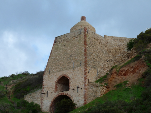 KilnKiln, lime · 417 yd
 Grave YardGraveyard · 1.0 mi
 Thrashing MachineMill, threshing · 1.3 mi
 Graveyard in Broomfield WestGraveyard · 1.8 mi
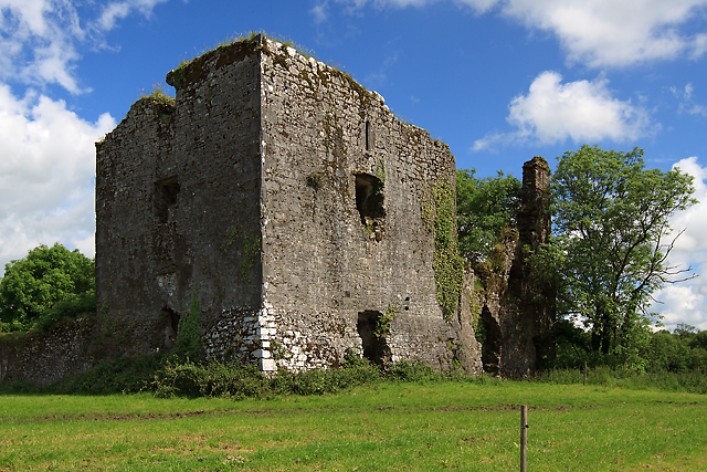 Cahermone Castle (in Ruins)Castle, tower house · 2.4 mi
 Cahermone CastleCastle · 2.4 mi
 Curragh WoodsWood · 2.7 mi
 Midleton IRA MonumentMemorial · 2.8 mi
 Clonmult Ambush SiteBattlefield · 3.1 mi
 Noel Collins BridgeVisitor information · 3.6 mi
 Ballyannan (Bluebell) WoodsForest · 3.9 mi