What is recorded here
No visible wall remains on the NE-facing slope in Ballyreaghan, County Longford, only a hidden ring marked Fort on the 1837 Ordnance Survey map. The land may have worn the fort into grass and memory, leaving behind a shape that resists forgetting.
On a NE-facing slope in pasture. Depicted as a circular enclosure with the designation 'Fort' on the 1837 ed. of the OS 6-inch map. It is not visible at ground level.
Compiled by: Patrick F. O'Donovan
Date of upload: 23 November 2011
The monument record does not grant public access. Check the route and ask the landowner before entering private land.
- What survives
- Recorded monument
Places near here
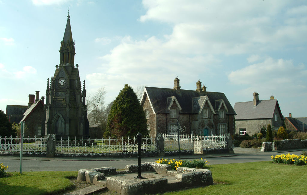 IndicatedFairy fort / earthen ringfort · 843 yd
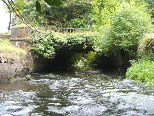 Kilshruley Manorbridge · 1210 yd
 Religious houseReligious house, unclassified · 1262 yd
 Enclosure in DrumnaharaEnclosure · 1.3 mi
 Cloonfin WoodForest · 1.3 mi
 Ballinalee Forest WalkForest · 1.4 mi
 Clonfin Ambush MemorialMemorial · 1.5 mi
 Bully's Acregraveyard/cemetery, unknown · 1.6 mi
 Bawn in CurrycahillBawn · 1.8 mi
 BawnBawn · 2.3 mi
 InchmoreIslet · 4.4 mi
 Granard MotteMotte-and-bailey castle remains · 5.0 mi