What is recorded here
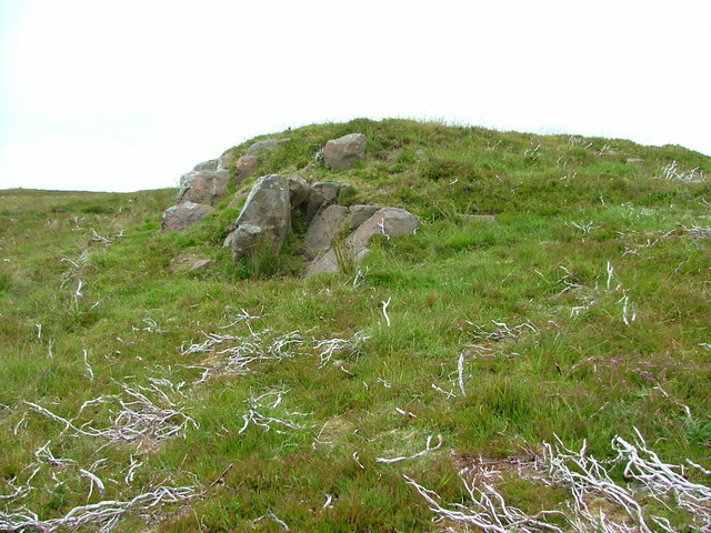
Fairy fort, Ballyogaha West is a circular earthen ringfort on a terrace above a southern stream, facing Caherdesert. Its inner bank still stands one point six metres high around a saucer-shaped interior, while a narrow fosse and outer bank preserve the shape of an entrance that once admitted people, animals or visitors into a lived space. The stones may have belonged to a household, a shrine or a boundary marker, but the earth remembers the circle and the region still repeats it in story.
In pasture, on natural terrace above stream to S; view to NW of Caherdesert (CO054-020001-). Circular area (33.4m N-S; 39m E-W) enclosed by inner earthen bank with stone core (H 1.6m); intervening fosse (D 0.3m) NNW->SSE; outer bank (H 1m) NW->SSE. Entrance to SSE, with causeway, edged to E by radial bank running from inner to outer bank. Slight depression runs into interior from entrance. Interior saucer-shaped; terraced level around base of bank, slightly hollowed in centre.
The above description is derived from the published 'Archaeological Inventory of County Cork. Volume 2: East and South Cork' (Dublin: Stationery Office, 1994). In certain instances the entries have been revised and updated in the light of recent research.
Date of upload/revision: 14 January 2009
The monument record does not grant public access. Check the route and ask the landowner before entering private land.
- What survives
- Recorded monument
Places near here
 KilnKiln, lime · 700 yd
 Man-made underground passageMan-made underground passage · 1348 yd
 Man-made underground passage in CaherdesertMan-made underground passage · 1405 yd
 IndicatedKiln, lime · 1531 yd
 Court (site of )Castle, unclassified · 1.4 mi
 Graveyard in KillasseraghGraveyard · 3.0 mi
 Monananig WoodsWood · 3.3 mi
 Rathcormac massacremassacre · 3.3 mi
 Castle (Site of)Castle, unclassified · 3.5 mi
 Devonshire's HillMountain / peak · 3.7 mi
 Moanbaun ForestForest · 4.3 mi
 Clonmult Ambush SiteBattlefield · 4.8 mi