What is recorded here
Set on slight terrace in hills on W side of River Nore valley, in rolling grassland. Land slopes steeply up to W and down to E. Good views N-S along valley and E across the valley. Originally circular area (int. diam. 30m) enclosed by slight earthen bank (Wth c. 3m; int. H c. 0.4m; ext. H c. 0.4m). The W side of the monument has been destroyed, leaving a horseshoe-shaped area (max. dims. 30m N-S; 15m E-W).
Compiled by: Jean Farrelly
Date of upload: 16 February 2016
This remains an important historical record, but the official description says the monument is no longer visible or has been destroyed. The monument record does not grant public access. Check the route and ask the landowner before entering private land.
- What survives
- No visible remains or recorded as destroyed
Places near here
 IndicatedEnclosure · 335 yd
 Ballynaslee RingfortArchaeological place · 484 yd
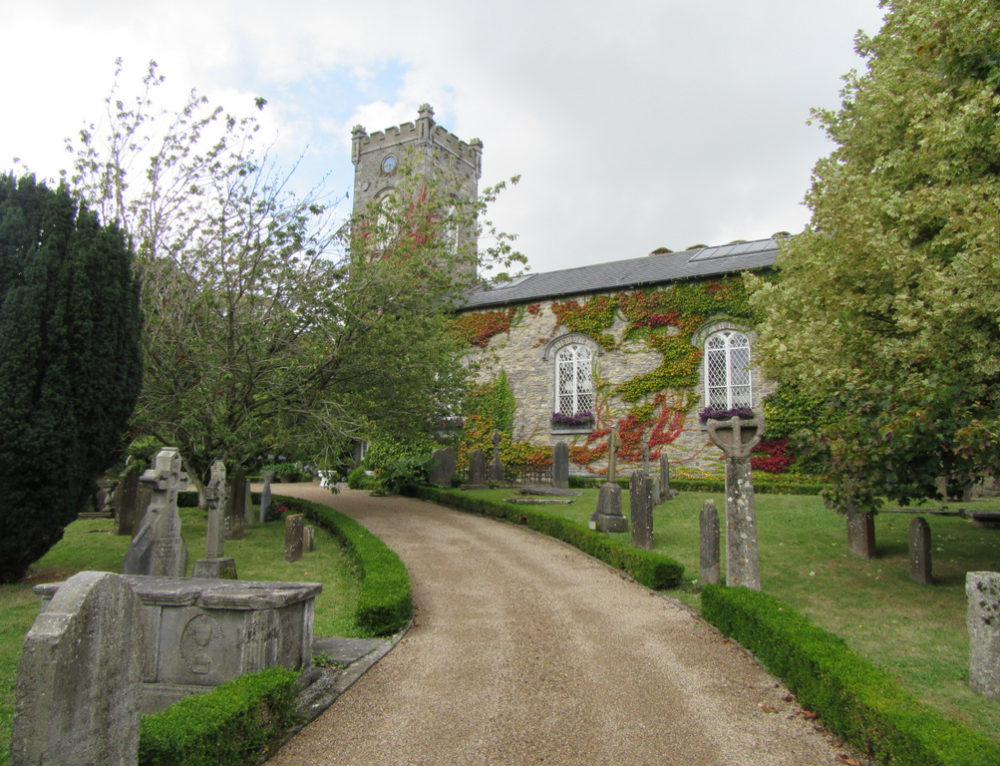 Church in BallyconraChurch · 1080 yd
 Anker's IslandIsland · 1090 yd
 CastleCastle, unclassified · 1174 yd
 Church (in ruins)Church · 1253 yd
 Mountgarret Castle (in ruins)Castle, unclassified · 1640 yd
 Graveyard in SraleaghGraveyard · 2.3 mi
 Donaghmore WellSpring · 3.2 mi
 1798 MonumentMemorial · 5.0 mi
 Common LimeCommon Lime · 5.2 mi
 European PearEuropean Pear · 6.2 mi