What is recorded here
Situated on a low rise in grassland, with good views of the surrounding countryside. A sub-circular shaped area (approx. diam. 34m N-S; 31m E-W) enclosed by a low bank of earth and stone and a slight external that has been filled in from NW-E. The interior rises towards the centre. There is a possible entrance gap at E.
Compiled by: Frank Coyne and Caimin O'Brien
Date of upload: 24 July 2018
The monument record does not grant public access. Check the route and ask the landowner before entering private land.
- What survives
- Recorded monument
Places near here
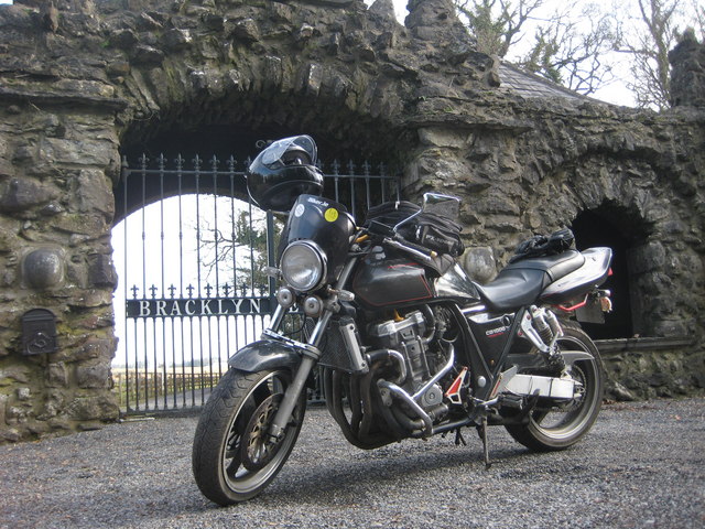 Bracklyn Housegate lodge · 747 yd
 OutlinedFairy fort / earthen ringfort · 1091 yd
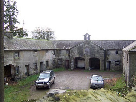 Rockview Housestables · 1546 yd
 Killagh Ho. & CastleCastle, tower house · 1.0 mi
 DardistownCastle, unclassified · 1.3 mi
 Tober LuibeHoly well · 1.3 mi
 GinkgoGinkgo · 2.1 mi
 ScregganWood · 3.9 mi
 Kells HillMountain / peak · 7.8 mi
 Seafin HillMountain / peak · 9.0 mi
 Croppies' GraveMemorial · 10 mi
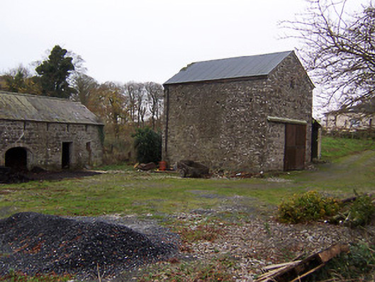 mill (water)mill (water) · 1731 yd