What is recorded here
Dense vegetation now smothers a thirty-metre earthen ring in Ballymurragh East, though a shallow ditch and low bank still trace its hidden edge. The site predates human memory in local thought, yet it may have served as a modest farmstead or sheltered gathering place before the green took it back.
In level rough pasture, on W-facing slope. Monument, depicted as embanked circular enclosure (diam. c. 30m) on 1924 OS 6-inch map, is now covered by dense overgrowth. It appears to be enclosed by scarp/bank (ext. H c. 1.5m) with an external fosse (D c. 0.9m; Wth c. 4m).
Compiled by: Denis Power
Date of upload: 26 August 2011
The monument record does not grant public access. Check the route and ask the landowner before entering private land.
- What survives
- Recorded monument
Places near here
 Enclosure in Ballymurragh EastEnclosure · 385 yd
 bridgebridge · 521 yd
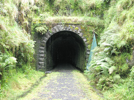 tunneltunnel · 1055 yd
 Enclosure in GlendarraghEnclosure · 1354 yd
 Sugar HillMountain / peak · 2.2 mi
 TobereenalaffinaSpring · 2.5 mi
 Limerick GreenwayWalking route · 2.5 mi
 Glenquin CastleCastle · 2.7 mi
 Templars Castle (in ruins)Castle, Anglo-Norman masonry castle · 3.2 mi
 Saint Ite's WellSpring · 3.4 mi
 Barnagh HillMountain / peak · 3.8 mi
 Lawson's CypressLawson's Cypress · 7.3 mi