
What is recorded here
In undulating pasture, on S side of stream; directly between two ringforts (LI036-108--- & LI036-194---). Circular area (10m N-S; 11m E-W) defined by scarped edge (H 0.4m; Wth 1.7m). Scarp fades out SSE->SSW where edge of site merges with a low natural ridge. Interior level and under pasture.
Compiled by: Denis Power
Date of upload: 26 August 2011
A local fairy fort (ringfort/rath); wider significance not recorded.
The monument record does not grant public access. Check the route and ask the landowner before entering private land.
- What survives
- Recorded monument
Places near here
 bridgebridge · 869 yd
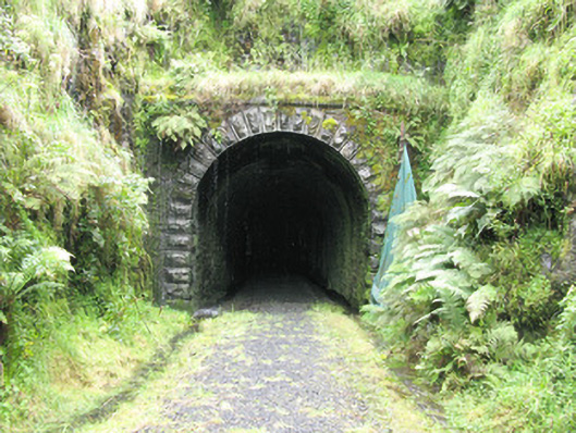 tunneltunnel · 1439 yd
 Enclosure in GlendarraghEnclosure · 1646 yd
 Enclosure in Garryduff (glenquin By., Garryduff Ed)Enclosure · 1.1 mi
 Sugar HillMountain / peak · 2.4 mi
 Limerick GreenwayWalking route · 2.5 mi
 Glenquin CastleCastle · 2.7 mi
 TobereenalaffinaSpring · 2.7 mi
 Templars Castle (in ruins)Castle, Anglo-Norman masonry castle · 3.0 mi
 Saint Ite's WellSpring · 3.4 mi
 Barnagh HillMountain / peak · 4.0 mi
 Lawson's CypressLawson's Cypress · 7.4 mi
Other information
Photo: Credit not shown in the picture search · Rights wording not checked; contact us if this picture should be removed