What is recorded here
In level area on NW-facing side of Barnagh Hill. Monument occupies buffer zone (extending c. 15m out from edge of monument) within newly planted coniferous plantation and is itself completely covered by mountain grass. Sub-rectangular area (13m NNW-SSE; 21m ENE-WSW) enclosed by earthen bank (int. H 0.3m; ext. H 1m; Wth 2.85m) with external fosse (Wth 1.6m; D 0.2m), except on S side where enclosure has been truncated by a straight E-W field boundary. Interior slopes down gently to NNW.
In level area on NW-facing side of Barnagh Hill. Monument occupies buffer zone (extending c. 15m out from edge of monument) within newly planted coniferous plantation and is itself completely covered by mountain grass. Sub-rectangular area (13m NNW-SSE; 21m ENE-WSW) enclosed by earthen bank (int. H 0.3m; ext. H 1m; Wth 2.85m) with external fosse (Wth 1.6m; D 0.2m), except on S side where enclosure has been…
From the National Monuments Service (Archaeological Survey of Ireland) record LI035-014
The monument record does not grant public access. Check the route and ask the landowner before entering private land.
- What survives
- Recorded monument
Places near here
Photo credits
- National Inventory of Architectural Heritage
- Mike Searle, Wikimedia Commons · CC BY-SA 2.0
- A.-K. D., Wikimedia Commons · CC BY-SA 4.0
- Created by Kglavin Modified Aug 2007 by Mike Christie, Wikimedia Commons · CC BY-SA 3.0
- jonleebotany, Wikimedia Commons · CC0
- Jonathan Thacker, Geograph · CC BY-SA 2.0
Enclosure in Garryduff (glenquin By., Garryduff Ed)Enclosure · 439 yd bridge853 ydtunnel930 ydSugar HillMountain / peak · 1.5 miLimerick GreenwayWalking route · 2.0 miTobereenalaffinaSpring · 2.2 miGlenquin CastleCastle · 3.2 miTemplars Castle (in ruins)Castle, Anglo-Norman masonry castle · 3.6 miSaint Ite's WellSpring · 4.1 miArdagh FortArchaeological place · 5.5 miLawson's Cypress6.5 miThree CountiesPicnic place · 9.5 mi
 bridge853 yd
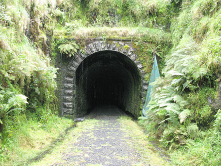 tunnel930 ydSugar HillMountain / peak · 1.5 miLimerick GreenwayWalking route · 2.0 miTobereenalaffinaSpring · 2.2 mi
 Glenquin CastleCastle · 3.2 mi
,_Newcastle_West,_Limerick_-_geograph.org.uk_-_1392672.jpg/250px-Castles_of_Munster,_Desmond_Hall_(Castle_Banqueting_Hall),_Newcastle_West,_Limerick_-_geograph.org.uk_-_1392672.jpg "Photo: Mike Searle, Wikimedia Commons · CC BY-SA 2.0") Templars Castle (in ruins)Castle, Anglo-Norman masonry castle · 3.6 mi
Templars Castle (in ruins)Castle, Anglo-Norman masonry castle · 3.6 mi Saint Ite's WellSpring · 4.1 mi
 Ardagh FortArchaeological place · 5.5 mi
 Lawson's Cypress6.5 mi
 Three CountiesPicnic place · 9.5 mi
More archaeology and monuments in County Limerick · All of County Limerick
What do you know about this place?