What is recorded here
Situated on the top of a slight but pronounced natural rise of ground with good views to S and W. A roughly circular area enclosed by a low earth and stone bank, with shallow fosse and external bank visible from N-NE and from SE-S-W only, with causewayed entrance gap (Wth 2.7m) at SSE. The ringfort is intersected at E by a roadway running N-S which destroys the enclosing elements of the monument on this side. In the N quadrant of the ringfort interior there is a low stony rise which possibly indicates the remains of a house site but this is uncertain. A crescent-shaped annexe defined by a low earthen bank adjoins the ringfort to the NW. A low L-shaped earthen bank in the S quadrant of the annexe defines a roughly square shaped area. This earthwork is too large to represent the remains of a house site. The interior of the annexe is much disturbed by cultivation ridges running ENE-W-SW. The interior of the ringfort is also disturbed by similar cultivation ridges
Compiled by: Frank Coyne & Caimin O'Brien
Date of upload: 3 January 2017
The monument record does not grant public access. Check the route and ask the landowner before entering private land.
- What survives
- Recorded monument
Places near here
 Hut site in BallymanusHut site · 212 yd
 Field system in BallymanusField system · 258 yd
 Ballycomoyle National Schoolschool · 864 yd
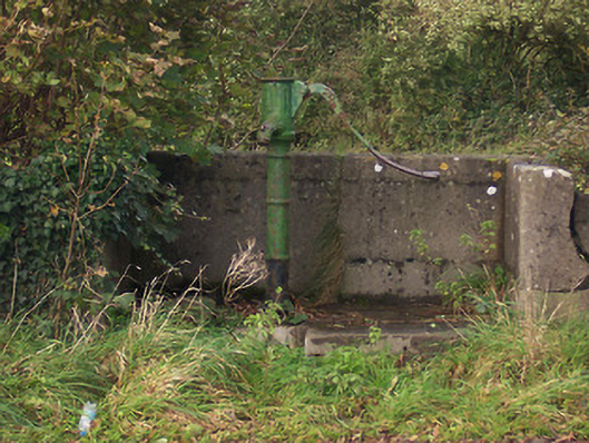 water pumpwater pump · 1097 yd
 Hilltown Castle (in ruins)Castle, tower house · 1.0 mi
 Mullaghmeen ForestPicnic place · 1.4 mi
 CastleCastle, unclassified · 1.5 mi
 Mullaghmeen Red WalkWalking route · 1.7 mi
 Mullaghmeen White WalkWalking route · 1.9 mi
 Rock of CurryCliff · 2.1 mi
 European ashEuropean ash · 2.8 mi
 Silver FirSilver Fir · 3.5 mi