What is recorded here
Fairy forts are not proven fairy houses, though people may have believed that. More likely they were small rural dwellings or farm enclosures from the Iron Age or early medieval period. The name came later, when smaller abandoned rings became linked in folklore to hidden or unusual inhabitants.
The following description is derived from both the published 'Archaeological Inventory of County Louth' (Dublin: Stationery Office, 1986) and the 'Archaeological Survey of County Louth' (Dublin: Stationery Office, 1991). In certain instances the entries have been revised and updated in the light of recent research.
Date of upload/revision: 17 July 2007
Circular area (int. diam. 23m) enlcosed by bank (Wth 4.8m, H 0.3m internally, 2.4m externally) with external fosse (Wth 3.2m, D 1m) visible on NW-N and SE. Entrance gap (Wth 1.4m) lined with large stones at NW. Oval raised area (max. dims. 5.9m NW-SE, 4.3m SW-NE) at NNE of interior formed by cutting the upper part into the slope, facing the scarp thus obtained with large stones, and building up the lower part with stones. A stone-revetted curvilinear scarp extends from this to SW bank.
The monument record does not grant public access. Check the route and ask the landowner before entering private land.
- What survives
- Recorded monument
Places near here
 Enclosure in BallymakellettEnclosure · 66 yd
 Hut site in BallymakellettHut site · 153 yd
 The Round MountainMountain / peak · 784 yd
 Drumisnagh HillMountain / peak · 834 yd
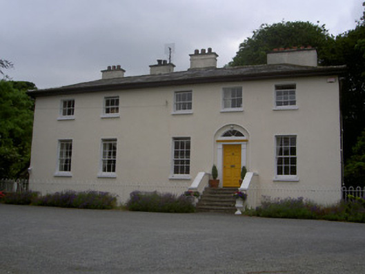 The Old Rectoryrectory/glebe/vicarage/curate's house · 1.0 mi
 Saint Mary's Roman Catholic Churchchurch/chapel · 1.0 mi
 Proleek DolmenArchaeological place · 1.5 mi
 CastleCastle, tower house · 1.7 mi
 Cooley MountainsMountain range · 1.9 mi
 Long Woman's GraveArchaeological place · 2.4 mi
 Soldiers' PointHeadland · 2.4 mi
 Battle of FaughartMajor battlefield · 3.0 mi