
What is recorded here
Situated on a steep W-facing slope c. 35m ENE of rath (LH004-096----). It was first identified and recorded by Melanie McQuade and Richard Jack in a felled forest. This is a circular area (int. diam. 4.8m N-S; 4.5m E-W) dug into the hill-slope with a stone facing (H c. 1.2m) retaining the slope and with an entrance (Wth 0.8m) at W.
Compiled by: Michael Moore
Date of upload: 21 December, 2016
A local fairy fort (ringfort/rath); wider significance not recorded.
The monument record does not grant public access. Check the route and ask the landowner before entering private land.
- What survives
- Recorded monument
Places near here
 Hut site in BallymakellettHut site · 209 yd
 Man-made underground passage in BallymakellettMan-made underground passage · 514 yd
 The Round MountainMountain / peak · 730 yd
 Drumisnagh HillMountain / peak · 894 yd
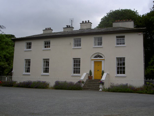 The Old Rectoryrectory/glebe/vicarage/curate's house · 1.0 mi
 Saint Mary's Roman Catholic Churchchurch/chapel · 1.0 mi
 Proleek DolmenArchaeological place · 1.6 mi
 CastleCastle, tower house · 1.7 mi
 Cooley MountainsMountain range · 1.9 mi
 Long Woman's GraveArchaeological place · 2.3 mi
 Soldiers' PointHeadland · 2.4 mi
 Battle of FaughartMajor battlefield · 3.1 mi
Other information
Photo: Credit not shown in the picture search · Rights wording not checked; contact us if this picture should be removed