What is recorded here
Three earthen rings and two cutting ditches still mark a 27-metre grass circle beside a Clare stream, yet the nested banks and blocked entrance suggest more than a ordinary farming enclosure. The name Fairy fort may be local story rather than fact, but it fits the place: a hidden ring, low and wet, where human hands built layers of exclusion.
In a low-lying position on the N bank of a stream. Listed as 'enclosure' in the SMR (1992) and the RMP (1996). A trivallate ringfort comprising a circular grass-covered area (int. diam. 27m) defined by an earthen bank (Wth 5.6-7m; int. H 0.6m at ENE to 1.5m at WSW; ext. H 1.4m generally to 2.8m at WSW) which is separated by a fosse (Wth of base 3.5-5m; D 0.6-0.8m) from a central bank (Wth 4-7.2m; ext. H 0.4-0.7m) N-W. A second fosse (Wth of base 1.2m) separates the central bank from an outer bank (Wth 5m; ext. H 0.25m) N-SE. There is a causeway (Wth 4m; H 0.6m) across the outer fosse and a blocked entrance (Wth 2m) in the central bank at SE.
Compiled by: Michael Moore
Date of upload: 15 April 2020
A trivallate earthen ringfort in Ballymackea Beg, likely dating to the early medieval period, characterized by a circular grass-covered area with an internal diameter of 27 meters and a bank on the western side. Local tradition refers to it as a fairy fort, reflecting the common Irish folklore associating such sites with supernatural beings.
The monument record does not grant public access. Check the route and ask the landowner before entering private land.
- What survives
- Recorded monument
Places near here
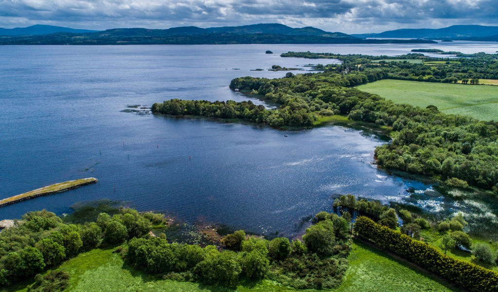 IndicatedEcclesiastical enclosure · 1423 yd
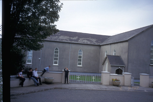 Saint Mary's Roman Catholic Churchchurch/chapel · 1555 yd
 LisclonroeFairy fort / earthen ringfort · 1615 yd
 Finnor Castle (Site of)Castle, unclassified · 1659 yd
 Kilmurry Church (in ruins)Church · 1694 yd
 Emlagh PointHeadland · 1.6 mi
 Tromra CastleCastle, tower house · 1.7 mi
 Seafield North BeachBeach / strand · 2.1 mi
 Spanish Point BeachBeach / strand · 2.3 mi
 Lurga PointHeadland · 2.5 mi
 Spanish PointHeadland · 3.1 mi
 Mutton IslandIsland · 3.8 mi