
What is recorded here
Finnor More holds a faint circular scar and two hollows on a Clare ridge, yet no name, date or story has ever emerged from the grass. The land may have swallowed a small tower or simply given stone to a nearby building, leaving behind only a shallow dish and a larger pit. What is certain is that the ridge kept the shape while memory departed, forcing every visitor to invent the missing room before the silence removes it again.
At the summit of an E-W ridge. There are no known references to a castle here, and there are no traditions associated with it. Circular grass-covered area (diam. c. 25m NW-SE) defined by a very slight scarp (H 0.8m; Wth 10m). A rectangular hollow (dims. 7m NE-SW 3m NW-SE; D 0.6-0.7m) at is N edge may be the site of a structure or a quarry like the larger quarry (dims. 22m N-S; 10m E-W; max. D 1.8m) just 3m to S.
Compiled by: Michael Moore
See attached document with details from Risteárd Ua Cróinín and Martin Breen, The Castles and Tower-houses of Co. Clare (unpublished report). Uploaded courtesy of R. Ua Cróinín and M. Breen.
Date of upload: 12 December 2014
The monument record does not grant public access. Check the route and ask the landowner before entering private land.
- What survives
- Recorded monument
Places near here
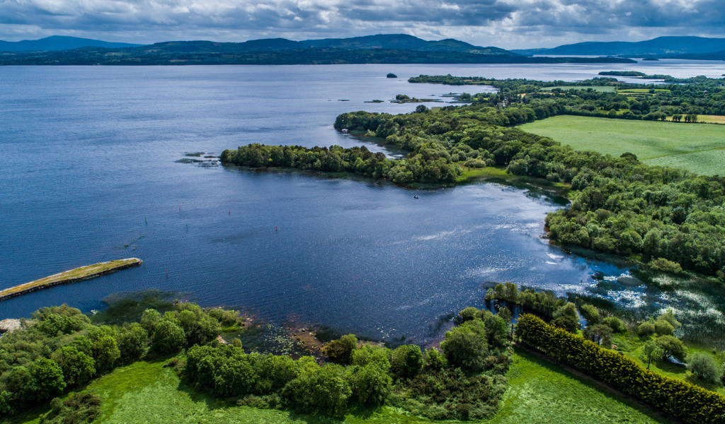 IndicatedEcclesiastical enclosure · 266 yd
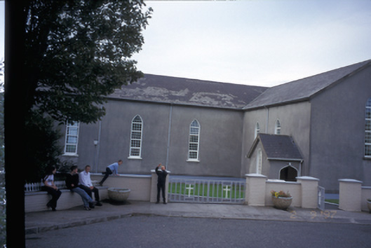 Saint Mary's Roman Catholic Churchchurch/chapel · 558 yd
 Raha FortFairy fort / earthen ringfort · 1.5 mi
 Kilmurry Church (in ruins)Church · 1.6 mi
 Knockanalban Castle (Site of)Castle, unclassified · 2.1 mi
 Tromra CastleCastle, tower house · 2.3 mi
 Emlagh PointHeadland · 2.5 mi
 Seafield North BeachBeach / strand · 2.9 mi
 Spanish Point BeachBeach / strand · 3.0 mi
 Lurga PointHeadland · 3.3 mi
 Spanish PointHeadland · 3.9 mi
 Doughmore BeachBeach / strand · 4.4 mi
Other information
Photo: Credit not shown in the picture search · Rights wording not checked; contact us if this picture should be removed