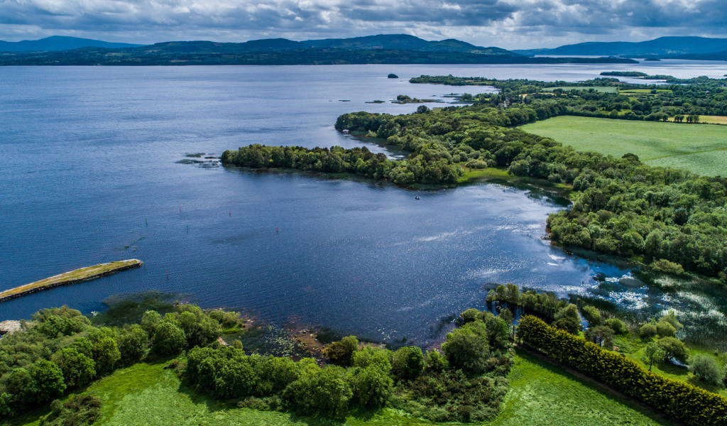
What is recorded here
Situated on top of a hillock. A burial ground (CL038-036001-) and holy well (CL038-036002-) are within an enclosure (diam. 82m NNW-SE) defined by an earthen bank (Wth 6.3-8m; int. H 0.2m; ext. H 0.6-0.9m) SE-S, and a scarp (H 1.7m) NW-N. The holy well is inside the graveyard at E.
Compiled by: Michael Moore
Date of upload: April 2020
Finnor More is a likely early-medieval ringfort situated on a hillock, associated with a nearby burial ground and holy well. Local tradition may connect it with fairy lore, as is common with such sites in Irish tradition, though specific folklore is not recorded.
The monument record does not grant public access. Check the route and ask the landowner before entering private land.
- What survives
- Recorded monument
Places near here
 Finnor Castle (Site of)Castle, unclassified · 266 yd
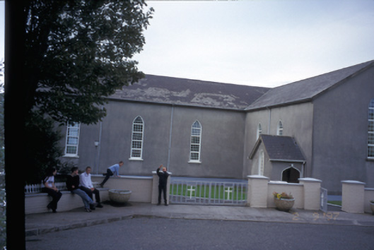 Saint Mary's Roman Catholic Churchchurch/chapel · 640 yd
 LisnacloonaghFairy fort / earthen ringfort · 1.4 mi
 Kilmurry Church (in ruins)Church · 1.5 mi
 Raha FortFairy fort / earthen ringfort · 1.6 mi
 Tromra CastleCastle, tower house · 2.2 mi
 Emlagh PointHeadland · 2.4 mi
 Seafield North BeachBeach / strand · 2.8 mi
 Spanish Point BeachBeach / strand · 2.9 mi
 Lurga PointHeadland · 3.1 mi
 Spanish PointHeadland · 3.8 mi
 Doughmore BeachBeach / strand · 4.3 mi
Other information
Photo: Credit not shown in the picture search · Rights wording not checked; contact us if this picture should be removed