What is recorded here
Kylebreedia Burial Ground stands on a Clare hillock, holding recumbent stones from 1833 and vaults still used today. The dead lie beneath a raised scarped edge and masonry wall, while a holy well waits inside the eastern boundary. People have carried coffins past the northern steps for generations, blending ancient water and modern grief in one small rectangle of earth.
On top of a hillock. Listed as 'Grave Yard' in the SMR (1992) and the RMP (1996). A raised subrectangular area defined by a scarp (H 1.2-2m) and surrounded by a masonry wall (int. dims. 70m E-W; 55m N-S). Recumbent headstones, dating largely from c. 1833 to 1915, occupy much of the centre while upright headstones, dating from c. 1890 to the present, are on the periphery W-N, and there are c. 20 vaults dating from c. 1850 to the present. A coffin-resting stone and external steps are on the perimeter wall close to the NW corner. The burial ground is within an enclosure (CL038-36003-) and there is a holy well (CL038-036002-) inside the perimeter at E.
Compiled by: Michael Moore
Date of upload: 28 April 2020
A Neolithic passage tomb complex; significant as an example of early megalithic funerary architecture in the region.
The monument record does not grant public access. Check the route and ask the landowner before entering private land.
- What survives
- Recorded monument
Places near here
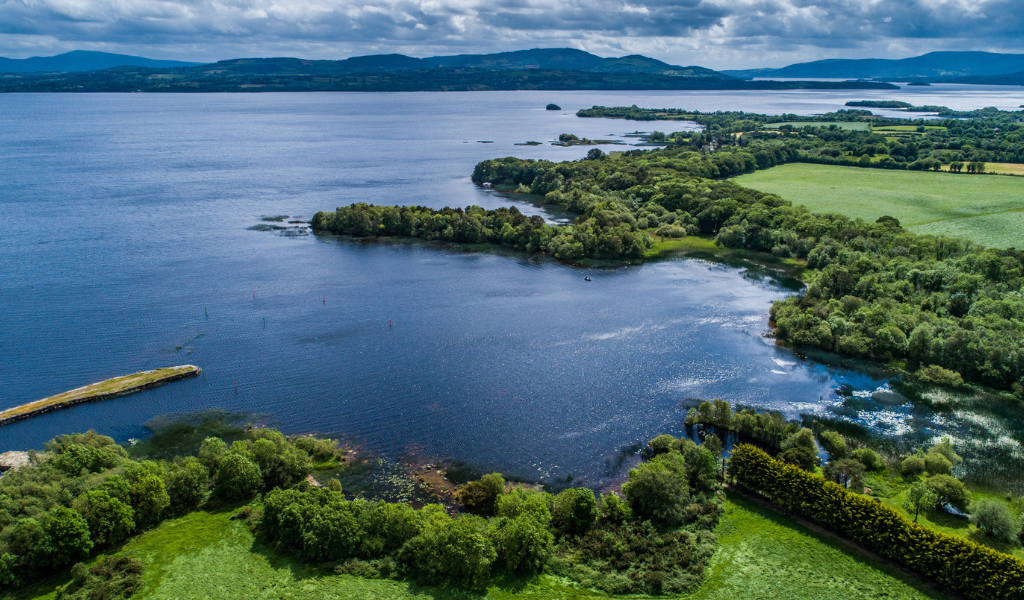 IndicatedEcclesiastical enclosure · 29 yd
 Finnor Castle (Site of)Castle, unclassified · 262 yd
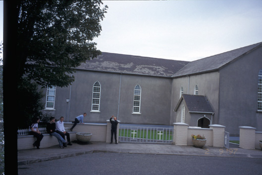 Saint Mary's Roman Catholic Churchchurch/chapel · 612 yd
 LisnacloonaghFairy fort / earthen ringfort · 1.4 mi
 Kilmurry Church (in ruins)Church · 1.5 mi
 Tromra CastleCastle, tower house · 2.2 mi
 Emlagh PointHeadland · 2.4 mi
 Seafield North BeachBeach / strand · 2.8 mi
 Spanish Point BeachBeach / strand · 2.9 mi
 Lurga PointHeadland · 3.1 mi
 Spanish PointHeadland · 3.8 mi
 Doughmore BeachBeach / strand · 4.3 mi