What is recorded here
Located on a slight N-S spur. The cropmark of a subcircular enclosure (dims c. 80m NE-SW; c. 70m NW-SE) is defined by a distinct fosse feature with a lighter outer feature c. 10-15m outside it. It is bisected by a NW-SE field bank and only the NE part is visible in a cereal crop on aerial photographs (ASIAP (10) 6-8).
Compiled by: Michael Moore
Date of upload: 19 March, 2013
The monument record does not grant public access. Check the route and ask the landowner before entering private land.
- What survives
- Recorded monument
Places near here
 Springwoodfarm house · 617 yd
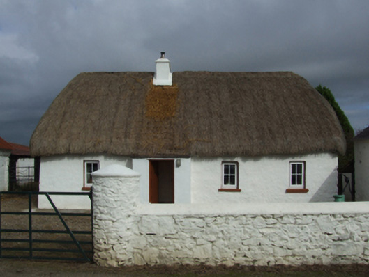 farm housefarm house · 871 yd
 CastleHouse, fortified house · 1014 yd
 Field system in Hilltown (shelmaliere West By.)Field system · 1107 yd
 Site of ChurchChurch · 1383 yd
 Site of CastleCastle, unclassified · 1.1 mi
 Coolcliffe HouseRuins · 2.1 mi
 Carrig-On-BannowVisitor information · 3.4 mi
 1798 MemorialMemorial · 3.5 mi
 Cullenstown StrandBeach / strand · 4.6 mi
 Ballymadder PointHeadland · 5.2 mi
 Blackhall StrandBeach / strand · 5.3 mi