
What is recorded here
Situated on a level landscape. The cropmark of a field system consisting of small rectangular fields (dims c. 30m x c. 30m) is visible on aerial photographs (WX041-031_1to _4), taken in 2006. They cover an area of c. 10 Ha, and the cropmark of a system of larger fields defined by field banks with double drains that is marked on the 1839 Ed. of the OS 6-inch map can be seen overlying it. The medieval house (WX041-031----) is in a farm complex immeidately to the SE.
WX041-031----_1.jpg from NE
Compiled by: Michael Moore
Date of upload: 20 March, 2013
The monument record does not grant public access. Check the route and ask the landowner before entering private land.
- What survives
- Recorded monument
Places near here
 CastleHouse, fortified house · 143 yd
 Field boundary in Hilltown (shelmaliere West By.)Field boundary · 433 yd
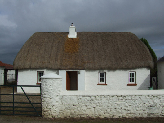 farm housefarm house · 469 yd
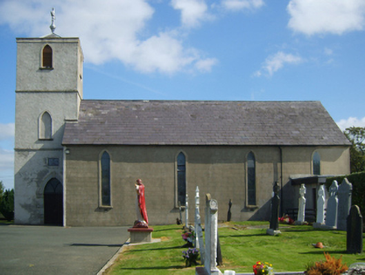 Saint Peter's Catholic Churchchurch/chapel · 543 yd
 Site of ChurchChurch · 726 yd
 Castle (in ruins)Castle, tower house · 1.1 mi
 Coolcliffe HouseRuins · 1.6 mi
 Carrig-On-BannowVisitor information · 3.1 mi
 1798 MemorialMemorial · 3.2 mi
 Cullenstown StrandBeach / strand · 4.5 mi
 Ballymadder PointHeadland · 4.9 mi
 Blackhall StrandBeach / strand · 5.0 mi
Other information
Photo: Credit not shown in the picture search · Rights wording not checked; contact us if this picture should be removed