
What is recorded here
Located on a slight S-facing slope. The cropmark of a curving feature (C c. 160m NW-NE-SE) beginning at a NE-SW field bank at the NW end and curving out to the NE and back to the SE is visible on aerial photographs (GSIAP S201/2). It is not visible in a root crop but is in a low part of the fied. This may be a field boundary or an old stream bed.
Compiled by: Michael Moore
Date of upload: 19 March, 2013
The monument record does not grant public access. Check the route and ask the landowner before entering private land.
- What survives
- Recorded monument
Places near here
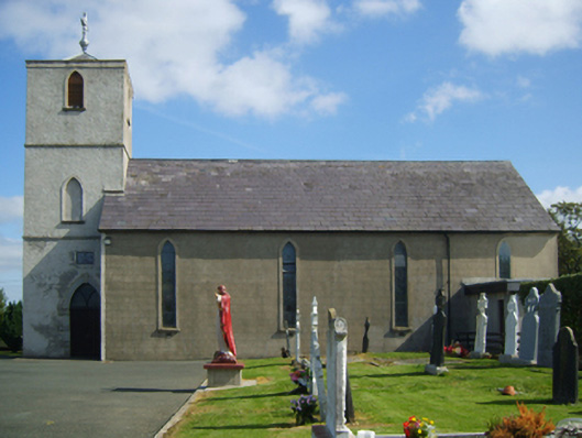 Saint Peter's Catholic Churchchurch/chapel · 114 yd
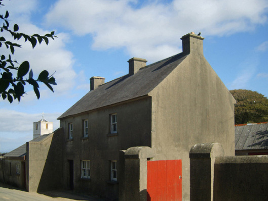 farm housefarm house · 150 yd
 Field system in Hilltown (shelmaliere West By.)Field system · 433 yd
 CastleHouse, fortified house · 506 yd
 St. Peters WellHoly well · 908 yd
 Castle (in ruins)Castle, tower house · 1.0 mi
 Coolcliffe HouseRuins · 1.5 mi
 Carrig-On-BannowVisitor information · 3.0 mi
 1798 MemorialMemorial · 3.0 mi
 Cullenstown StrandBeach / strand · 4.3 mi
 Ballymadder PointHeadland · 4.8 mi
 Blackhall StrandBeach / strand · 4.8 mi
Other information
Photo: Credit not shown in the picture search · Rights wording not checked; contact us if this picture should be removed