
What is recorded here
Situated on a gentle NW-facing slope. This is the parish church of Ballymitty. The low outline of a rectangular structure (ext. dims. 13m E-W; 10m N-S) defined by grass-covered banks (Wth c. 2m; H 0.1-0.4m) with some trees is visible on a raised D-shaped area (dims 62m NE-SW; 59m NW-SE) of grass-covered rock-outcrop defined by field banks at SW and SE and by a scrub-covered scarp (H 1.4-1.8m) NW-NE. There are seven dressed stone fragments of window surrounds with glazing grooves on the site, but there is no evidence of burial. St Peter's Well (WX041-022----), now covered, where the pattern was held on 29th June until c. 1800, lies c. 100m to the W.
The above description is derived from the published 'Archaeological Inventory of County Wexford' (Dublin: Stationery Office, 1996). In certain instances the entries have been revised and updated in the light of recent research.
Compiled by: Michael Moore
Date of upload/revision: 19 March, 2013
The monument record does not grant public access. Check the route and ask the landowner before entering private land.
- What survives
- Recorded monument
Places near here
 St. Peters WellHoly well · 119 yd
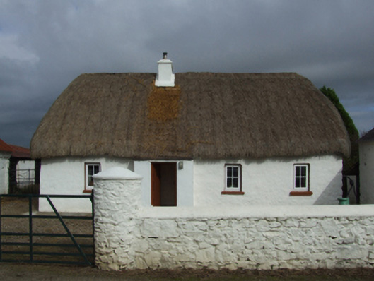 farm housefarm house · 532 yd
 Field system in Hilltown (shelmaliere West By.)Field system · 726 yd
 CastleHouse, fortified house · 844 yd
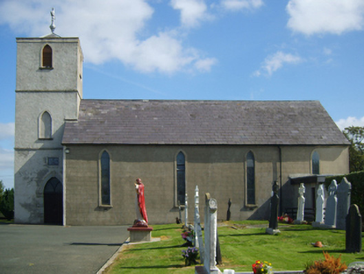 Saint Peter's Catholic Churchchurch/chapel · 988 yd
 Site of CastleCastle, unclassified · 1.2 mi
 Carrig-On-BannowVisitor information · 3.5 mi
 1798 MemorialMemorial · 3.5 mi
 Cullenstown StrandBeach / strand · 4.9 mi
 Ballymadder PointHeadland · 5.3 mi
 Blackhall StrandBeach / strand · 5.3 mi
 Bridges ChamberCave · 5.5 mi
Other information
Photo: Credit not shown in the picture search · Rights wording not checked; contact us if this picture should be removed