What is recorded here
Situated on a natural rise of ground with good views to NE, E and SW. Large oval-shaped area (approx. diam. 79m NW-SE; 53m NE-SW) enclosed by a well preserved substantial earth and stone bank (Wth 3-5m; int. H 1.5-2m), with wide deep fosse and the remains of an external bank only visible from N-E-S. Causewayed entrance (Wth 3.8m) at W. The external bank appears to be the remains of a post-1700 field boundary as depicted on the 1837 ed. OS 6-inch map. The interior of the ringfort has old cultivation ridges running NE-SW through it.
Compiled by: Frank Coyne & Caimin O'Brien
Date of upload: 5 January 2017
The monument record does not grant public access. Check the route and ask the landowner before entering private land.
- What survives
- Recorded monument
Places near here
 Cross (Remains of)Cross, Wayside cross · 328 yd
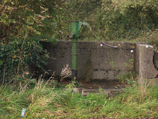 water pumpwater pump · 562 yd
 Ballycomoyle National Schoolschool · 822 yd
 Ecclesiastical enclosure in RathgarveEcclesiastical enclosure · 1421 yd
 Hachured, dotted outlineCastle, motte and bailey · 1579 yd
 Rock of CurryCliff · 1.6 mi
 Hilltown Castle (in ruins)Castle, tower house · 1.7 mi
 European ashEuropean ash · 1.9 mi
 Mullaghmeen ForestPicnic place · 2.2 mi
 Mullaghmeen Red WalkWalking route · 2.4 mi
 Silver FirSilver Fir · 2.6 mi
 Mullaghmeen White WalkWalking route · 2.6 mi