
What is recorded here
Described in 1928 as 'A plain square socket stone, the cross belonging to which is missing. It is placed at the angle of a lane three quarters of a mile (1km ) N of Rathgarve Church (WM003-068----)' (Crawford 1928, 57, no. 4). The cross is situated on the townland boundary between Robinstown Lower, Ballycomoyle and Robinstown Upper.
Compiled by: Caimin O'Brien
Date of upload: 23 June 2010
The monument record does not grant public access. Check the route and ask the landowner before entering private land.
- What survives
- Recorded monument
Places near here
 CrossCross, Wayside cross · 718 yd
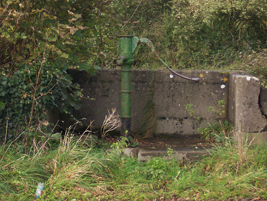 water pumpwater pump · 878 yd
 Church (in Ruins)Church · 1122 yd
 Ecclesiastical enclosure in RathgarveEcclesiastical enclosure · 1131 yd
 Hachured, dotted outlineCastle, motte and bailey · 1297 yd
 CastleCastle, tower house · 1634 yd
 Rock of CurryCliff · 1.7 mi
 European ashEuropean ash · 1.8 mi
 Mullaghmeen ForestPicnic place · 2.3 mi
 Silver FirSilver Fir · 2.4 mi
 Mullaghmeen Red WalkWalking route · 2.6 mi
 Mullaghmeen White WalkWalking route · 2.8 mi
Other information
Photo: Credit not shown in the picture search · Rights wording not checked; contact us if this picture should be removed