What is recorded here
Fairy forts are often invented because people are frightened or greedy, but this is a real fort. It stood in Ballinvarrig with a thirty-metre earth wall, large enough for a household and large enough to be forgotten. The land has taken it back, leaving only a standing stone nearby and a absence where a life once turned.
In pasture, on S-facing slope. Shown as hachured circular enclosure (diam. c. 30m) on 1842 OS 6-inch map, cut by N-S, E-W field fences. Levelled; no visible surface trace. Standing stone (CO063-013---) c. 200m to SE.
The above description is derived from the published 'Archaeological Inventory of County Cork. Volume 2: East and South Cork' (Dublin: Stationery Office, 1994). In certain instances the entries have been revised and updated in the light of recent research.
Date of upload/revision: 14 January 2009
The monument record does not grant public access. Check the route and ask the landowner before entering private land.
- What survives
- Recorded monument
Places near here
 farm housefarm house · 1512 yd
 Church in WhitechurchChurch · 1.0 mi
 Castle (Site of)Castle, unclassified · 1.2 mi
 IndicatedEnclosure · 1.4 mi
 Castle (in Ruins)Castle, tower house · 1.5 mi
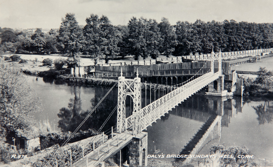 Sundays WellHoly well · 1.7 mi
 Lavitts QuayMemorial · 4.9 mi
 Cork WalksVisitor information · 4.9 mi
 Seefin East TopMountain / peak · 18 mi
 Mount Hillary - Knightfield LoopWalking route · 18 mi
 SeefinMountain / peak · 19 mi
 Clonavrick CliffCliff · 19 mi