What is recorded here
Fairy forts are earthen rings people once lived in or marked, not proven fairy homes. This is one: a levelled circular area about twenty-three by twenty-four metres on a south-facing slope in County Cork, with a low rise half a metre high inside and out and a gap to the south-east. It sits in pasture now, reduced to a shallow bend the land barely remembers.
In pasture, on S-facing slope. Levelled. Circular area (23m N-S; 24m E-W) defined by low rise (int. H c. 0.5m; ext. H c. 0.5m). Gap to SSE.
The above description is derived from the published 'Archaeological Inventory of County Cork. Volume 2: East and South Cork' (Dublin: Stationery Office, 1994). In certain instances the entries have been revised and updated in the light of recent research.
Date of upload/revision: 14 January 2009
The monument record does not grant public access. Check the route and ask the landowner before entering private land.
- What survives
- Recorded monument
Places near here
 farm housefarm house · 1059 yd
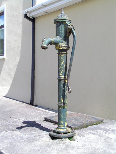 water pumpwater pump · 1.0 mi
 Castle (Site of)Castle, unclassified · 1.3 mi
 IndicatedEnclosure · 1.9 mi
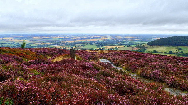 Burnt mound in KilleendanielBurnt mound · 1.9 mi
 Castle (in Ruins)Castle, tower house · 2.0 mi
 Lavitts QuayMemorial · 4.9 mi
 Cork WalksVisitor information · 4.9 mi
 Seefin East TopMountain / peak · 18 mi
 Mount Hillary - Knightfield LoopWalking route · 18 mi
 SeefinMountain / peak · 19 mi
 Clonavrick CliffCliff · 19 mi