What is recorded here
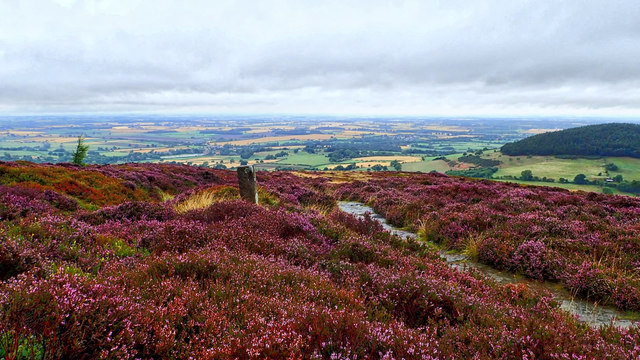
Heat-shattered stones and charcoal-enriched soil still mark the ground in Killeendaniel, County Cork. The mound sits just above waterlogged pasture, where ancient people likely threw hot stone into water to raise steam for cooking, cleaning or ritual. Another possible burnt mound lies nearby, suggesting the valley belonged to a busy place rather than a lonely one. Grass and time have hidden its exact shape, but the broken stone and dark earth keep the heat of that lost work alive.
In pasture, near the base of an ESE-facing slope and just above waterlogged ground. A large grass-covered spread (c. 32m NE-SW; c. 20m NW-SE) of heat-shattered stones and charcoal-enriched soil. The shape of the spread could not be determined due to the grass cover. Burnt material was also visible in the V-shaped drain dug along the N side of the field boundary. Another possible burnt mound (CO063-110----) lies c. 250m to the SW.
The above description is derived from 'The Archaeological Inventory of County Cork. Volume 5' (Dublin: Stationery Office, 2009).
Date of upload: 22 December 2009
Burnt mound in Killeendaniel is a Bronze Age ritual or industrial site, characterized by heat-shattered stones and charcoal-rich soil. Its significance lies in providing evidence of prehistoric water management, heating, or ceremonial practices.
The monument record does not grant public access. Check the route and ask the landowner before entering private land.
- What survives
- Recorded monument
Places near here
 Kilcully Church (in Ruins)Church · 912 yd
 Old Cemetery KilcullyMemorial · 946 yd
 Castle (Site of)Castle, unclassified · 1037 yd
 bridgebridge · 1417 yd
 Murphy's RockViewpoint · 1.2 mi
 Man-made underground passage in Ballincrokig (cork By., St. Anne’s Shandon Par.)Man-made underground passage · 1.4 mi
 ToberbarryHoly well · 1.5 mi
 Delaney Brothers MonumentMemorial · 1.7 mi
 Dublin HillViewpoint · 1.9 mi
 Mashanaglass Castle (in Ruins)Castle, tower house · 19 mi
 Ummera WoodWood · 19 mi
 Seefin East TopMountain / peak · 19 mi
Other information
Photo: Credit not shown in the picture search · Rights wording not checked; contact us if this picture should be removed