What is recorded here
Ballingarrane holds a twenty-metre earthen ring on a sunny limestone slope, though dense thorns and trees have swallowed the embankment. Local memory preserves a lime kiln at the southern edge until demolition in the late 1970s, suggesting the fort served living neighbourhoods rather than waiting for discovery. The scrub does not hide the place so much as keep it from ordinary notice.
In scrub, on S-facing slope in area of outcropping limestone. Monument, depicted as embanked circular enclosure (diam. c. 20m) on 1923 OS 6-inch map, is now completely masked by dense overgrowth of trees and thorn bushes. Raised area of loose stone (H c. 1m) is visible at approximately S end of enclosure; according to local information this is remains of a lime kiln demolished in late 1970s.
Compiled by: Denis Power
Date of upload: 26 August 2011
The monument record does not grant public access. Check the route and ask the landowner before entering private land.
- What survives
- Recorded monument
Places near here
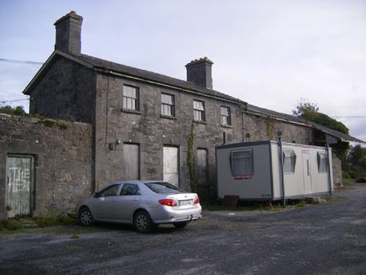 Ballingarrane Junction Railway Stationrailway station, signal box · 378 yd
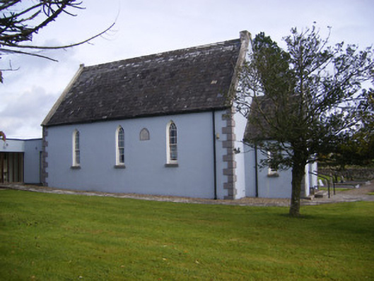 Embury and Heck Memorial Methodist Churchchurch/chapel · 448 yd
 Enclosure in BallingarraneEnclosure · 448 yd
 Burnt mound in BallingarraneBurnt mound · 991 yd
 Bawn in StonevilleBawn · 1291 yd
 Cappagh CastleCastle · 1.8 mi
 Flat cemetery in CroaghFlat cemetery · 2.3 mi
 TobernablahySpring · 2.6 mi
 St. Kieran's WellSpring · 3.6 mi
 Askeaton CastleHeritage attraction · 4.0 mi
 Little HeavenHeritage attraction · 4.2 mi
 European ashEuropean ash · 4.2 mi