What is recorded here
Double-ramparted banks stood where the field tilts east, large enough to hold a family and small enough to hide inside the hill. Carts cut through the west side and soil took the rest, but the fort still belongs to the living land.
In tillage, on E-facing slope. Shown on 1842 OS 6-inch map as irregular enclosure (diam. c. 35m N-S) cut to W by trackway; N bank conjoined to possibler ingfort (CO088-03801-). According to Power (1940, 17), '...on the townland is a conjoint lios, of two parts - both couble-ramparted'. No visible surface trace.
The above description is derived from the published 'Archaeological Inventory of County Cork. Volume 2: East and South Cork' (Dublin: Stationery Office, 1994). In certain instances the entries have been revised and updated in the light of recent research.
Date of upload/revision: 14 January 2009
The monument record does not grant public access. Check the route and ask the landowner before entering private land.
- What survives
- Recorded monument
Places near here
 St Marys Catholic ChurchChurch · 657 yd
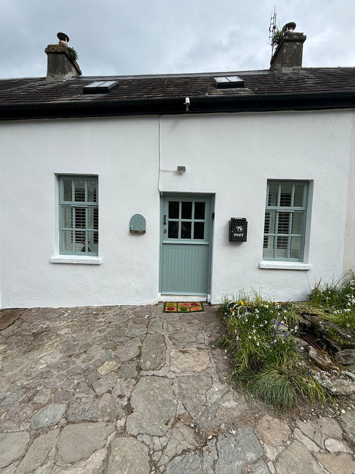 Enclosure in BallynookeryEnclosure · 1460 yd
 Enclosure in KnockboghilEnclosure · 1499 yd
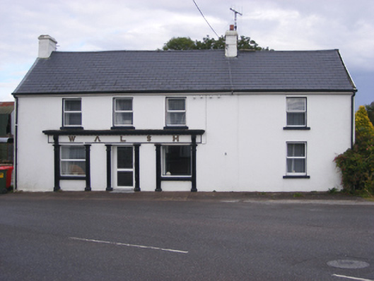 Walshhouse · 1.5 mi
 RobertMemorial · 1.5 mi
 Graveyard in AghadaGraveyard · 1.7 mi
 CastleCastle, unclassified · 1.8 mi
 InchBeach / strand · 1.9 mi
 Fossil Worm TrackNamed rock · 1.9 mi
 (Site of) CastleCastle, unclassified · 1.9 mi
 US Naval Air Station USNAS QueenstownHeritage attraction · 2.0 mi
 Titanic Memorial GardenHeritage attraction · 4.5 mi