What is recorded here
Fairy fort in Ballinamore: a 43-metre earthen ring at the foot of a steep hillside, its low bank and buried ditch still marking a circle that people shaped before the land was divided into fields. It may have been a home, a boundary, a meeting place or a warning kept visible against the sky. The fairies in its name do not diminish it; they remind us that some old rooms still refuse to explain themselves.
Close to the base of a steep NNW-facing hillside in pasture. Not indicated on the 1837 ed. of the OS 6-inch map. A raised circular area (diam. 43.1m) enclosed by a wide low bank of earth and stone (Wth 6.7m; H 0.3-1.3m) with a wide, largely infilled, external fosse (Wth 5.8m; D 0.2m). From E-SE-S the bank and fosse have been modified and incorporated into a field boundary. From NW-N-E the bank has been levelled but its outline and that of the fosse are still identifiable. The original entrance is not recognisable. The interior slopes steeply from SSE to NNW.
Compiled by: Patrick F. O'Donovan
Date of upload: 26 August 2011
The monument record does not grant public access. Check the route and ask the landowner before entering private land.
- What survives
- Recorded monument
Places near here
 bridgebridge · 579 yd
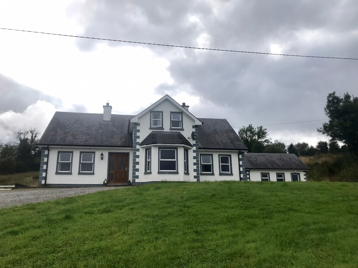 IndicatedBawn · 736 yd
 RoadRoad, unclassified togher · 764 yd
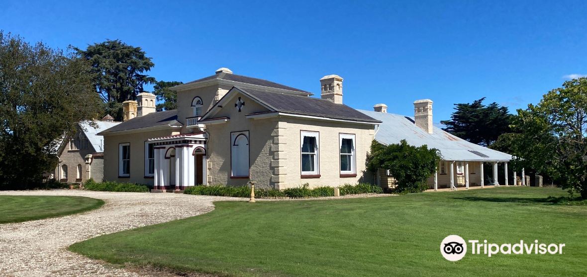 Enclosure in CaldraghmoreEnclosure · 1747 yd
 PlatformPlatform, peatland · 1.2 mi
 CastleCastle, tower house · 1.4 mi
 Graveyard in Curry (ardagh By., Coolamber Ed)Graveyard · 1.8 mi
 First World War MemorialMemorial · 4.5 mi
 Saint Mel's CathedralCathedral · 4.7 mi
 Commons North WalkVisitor information · 6.0 mi
 Wild birdsVisitor information · 6.0 mi
 White Sand WoodWood · 6.1 mi