What is recorded here
Ardyhoolihane holds a broken earthen ring above Bantry Bay, its scars marking a place where human hands and fairy legend still tangle. The gaps may have been doors, inviting people in or keeping something else out. To walk past them is to admit that the boundary between the seen and hidden world is thinner there than elsewhere.
In pasture, atop drumlin, overlooking Bantry Bay. Circular enclosure (33m E-W; 27.5m N-S) defined by internal bank (H 1m) W->NE, with external bank (H 0.5m) NW->NE, and by scarp (H 1.7m) NE->W on line of inner bank. Intervening fosse (D 0.7m; Wth 7m) NW->NE. Gaps in inner bank to N and NW; breaks in scarp to E, ESE and SE.
The above description is derived from the published 'Archaeological Inventory of County Cork. Volume 1: West Cork' (Dublin: Stationery Office, 1992). In certain instances the entries have been revised and updated in the light of recent research.
Date of upload/revision: 14 January 2009
The monument record does not grant public access. Check the route and ask the landowner before entering private land.
- What survives
- Recorded monument
Places near here
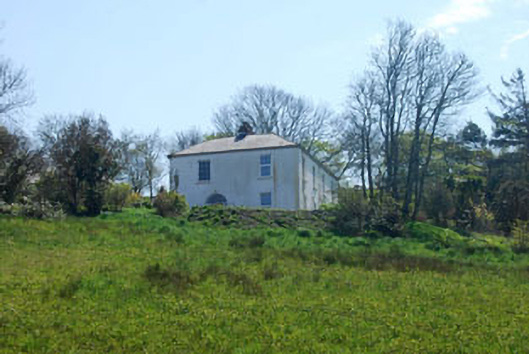 The Old Rectoryrectory/glebe/vicarage/curate's house · 1358 yd
 Monumental PillarCross · 1535 yd
 Ecclesiastical enclosure in KilnaruaneEcclesiastical enclosure · 1536 yd
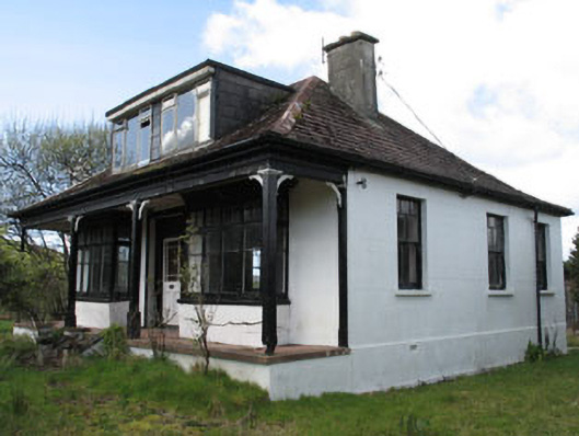 Stella Marishouse · 1588 yd
 GinkgoGinkgo · 1.1 mi
 Bantry HouseHeritage attraction · 1.3 mi
 Seskin ViewViewpoint · 1.4 mi
 Scart Castle (Site of)Castle, unclassified · 1.6 mi
 KnockboolteenaghMountain / peak · 1.6 mi
 St. Brendans StatueMemorial · 1.7 mi
 Statue of Wolfe ToneMemorial · 1.7 mi
 Tourist OfficeVisitor information · 1.7 mi