What is recorded here
Mortons and others may have occupied the circular earthworks before conifers swallowed the memory. The fort is gone except for a slight rise in pasture, yet the land still holds the shape of human ambition. What was built in anger or love has returned to grass and rain.
On a knoll in pasture. A report in 1976 (SMR file) recorded that this knoll, which is circular in plan (diam. c. 45m), was enclosed by a much-denuded, low bank of earth and stone, with an intervening fosse and traces of an outer bank at S. None of these features are visible and it is defined by a scarp (H 0.5m), which rises towards the S (H 1.1-1.3m). An entrance is not recognisable. The monument has been planted with coniferous trees.
Compiled by: Patrick F. O'Donovan
Date of upload: 23 January 2012
The monument record does not grant public access. Check the route and ask the landowner before entering private land.
- What survives
- Recorded monument
Places near here
 Ardagh DemesneFort · 353 yd
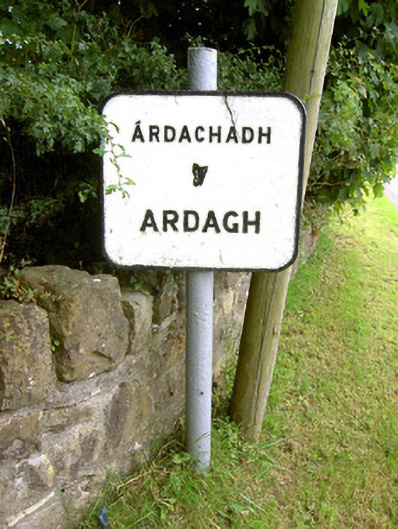 sign postsign post · 648 yd
 Burial in Back OF THE HillBurial · 744 yd
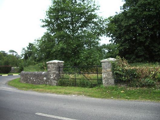 demesne walls/gates/railingsdemesne walls/gates/railings · 852 yd
 Pedestal of CrossCross · 1008 yd
 Oldtown CopseWood · 1.4 mi
 Druming Ho. (in ruins)Castle, unclassified · 1.4 mi
 Oldtown DemesneForest · 1.5 mi
 National Famine WayWalking route · 3.4 mi
 Graveyard in Curry (ardagh By., Coolamber Ed)Graveyard · 5.7 mi
 Saint Mel's CathedralCathedral · 5.9 mi
 First World War MemorialMemorial · 5.9 mi