
What is recorded here
Found in 1967 in the course of the excavation of a ringfort (LF019-047----). The burial remains, probably male, lay 'east of the centre of the rath' (NMI Topographic file) in a pit measuring c. 2m W–E, 1m N–S and 1m deep. A label attached to the remains records the following: 'Extended Iron-Age inhumation lying in East-West orientation, head to the West, found in interior of rath, reputed to be that of Maine, son of Niall of the nine hostages. Grave approximately 1m deep below the old ground level, excavated in a solid drift. Body was in a narrow, straight-sided lidded wooden coffin, arms extended along the sides. Fill of grave was organic. Three boulders in upper fill. Soil conditions in general were poor for preservation of bone. Approximate date of burial 4th-5th centuries A.D.' (ibid., pers. comm. A. Halpin). The excavator believed the burial had been placed in a tree trunk coffin. The form of the burial, and the orientation and position of the skeleton strongly suggests that the burial is of early medieval date (Coleman 2014, 132).
Updated by: Paul Walsh
Revised date of upload: 21 January 2015
The monument record does not grant public access. Check the route and ask the landowner before entering private land.
- What survives
- Recorded monument
Places near here
 Pedestal of CrossCross · 391 yd
 Ardagh DemesneFort · 480 yd
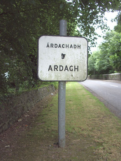 sign postsign post · 743 yd
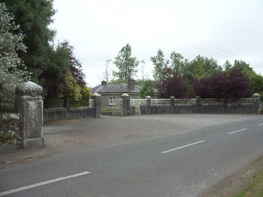 Ardagh Housegates/railings/walls · 957 yd
 Ardagh Clock TowerMonument · 1348 yd
 Druming Ho. (in ruins)Castle, unclassified · 1.5 mi
 Oldtown CopseWood · 1.7 mi
 Oldtown DemesneForest · 1.8 mi
 National Famine WayWalking route · 3.6 mi
 Graveyard in Curry (ardagh By., Coolamber Ed)Graveyard · 6.1 mi
 Saint Mel's CathedralCathedral · 6.3 mi
 Granard MotteMotte-and-bailey castle remains · 10 mi
Other information
Photo: Credit not shown in the picture search · Rights wording not checked; contact us if this picture should be removed